Satellite Imagery
Satellite Imagery
HER: Highland HER MHG4666 (None)
NMR: NN 59 SE 3 (24310)
SM: 4361
NGR: NN 5823 9295
X: 258230 Y: 792950 (OSGB36)
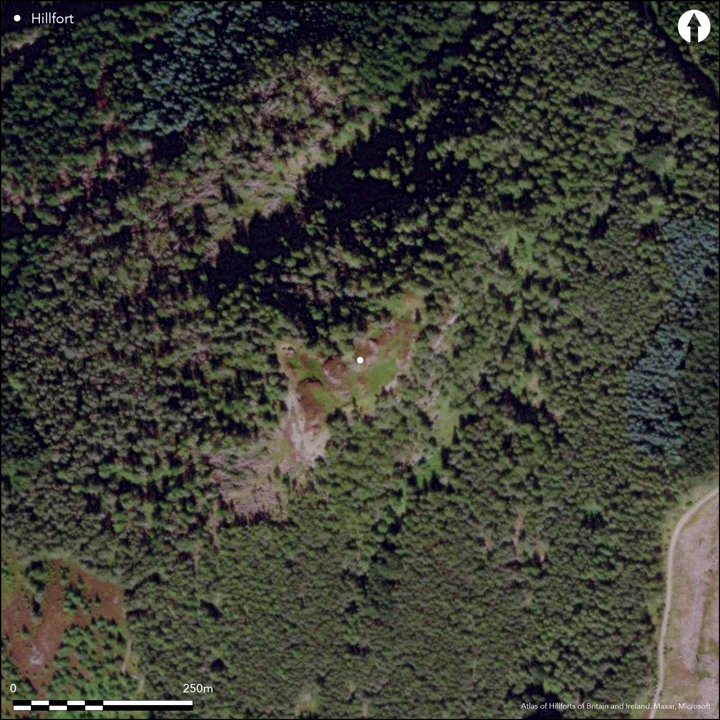
This fort is situated on the rocky summit (465m OD) of a spur that forms the NE end of the Black Craig ridge. The defences, a single wall, follow the edge of the summit area, which rises into two rocky bosses at either end, to form an irregular enclosure measuring internally some 110m in length from NE to SW and contracting in breadth from 75m where it faces onto the saddle with Black Craig on the SW to 32m at its mid-point, before tapering to a point on the NE. The wall itself is up to 7.5m in thickness, but typically from 4m to 5m, with long runs of well-built inner and outer faces employing thin slabs no more than 0.1m thick and in places standing between 2m and 3m in height. These higher sections have been deliberately exposed, a change in the character of the upper masonry of the inner face at the NW corner suggesting a certain amount of reconstruction. The position of the entrance is uncertain, though there is a gap in the wall in the middle of the NW side. The interior presents a series of rocky shelves and terraces which would have provided suitable stances for timber buildings. The only other features appear to be the result of more recent activity, including dugouts probably built by the Home Guard in WW2, a couple of small shelters, a possible twinning pen, and three marker cairns standing on the wall on the NE. There is also a small well in the NW part of the interior and though a survey by Headland Archaeology in 2010 suggested that it may be relatively recent, it does appear on the plan by the Rev Mackintosh Mackay dawn up about 1832 (Mackay 1857); it does not appear on a plan drawn up in 1956 by Richard Feachem.
Citizen Science: ✗
Reliability of Data: Confirmed
Reliability of Interpretation: Confirmed
X: -482678 Y: 7761331 (EPSG: 3857)
Longitude: -4.335968033633575 Latitude: 57.005932258931836 (EPSG:4326)
Country: Scotland
Current County or Unitary Authority: Highland
Historic County: Inverness-shire
Current Parish/Community/Council/Townland: Laggan
None
| Extant | ✓ |
| Cropmark | ✗ |
| Likely Destroyed | ✗ |
Clearing in a plantation
| Woodland | ✗ |
| Commercial Forestry Plantation | ✓ |
| Parkland | ✗ |
| Pasture (Grazing) | ✗ |
| Arable | ✗ |
| Scrub/Bracken | ✗ |
| Bare Outcrop | ✗ |
| Heather/Moorland | ✓ |
| Heath | ✗ |
| Built-up | ✗ |
| Coastal Grassland | ✗ |
| Other | ✗ |
None
| Contour Fort | ✓ |
| Partial Contour Fort | ✗ |
| Promontory Fort | ✗ |
| Hillslope Fort | ✗ |
| Level Terrain Fort | ✗ |
| Marsh Fort | ✗ |
| Multiple Enclosure Fort | ✗ |
| Hilltop | ✓ |
| Coastal Promontory | ✗ |
| Inland Promontory | ✗ |
| Valley Bottom | ✗ |
| Knoll/Hillock/Outcrop | ✗ |
| Ridge | ✗ |
| Cliff/Plateau-edge/Scarp | ✗ |
| Hillslope | ✗ |
| Lowland | ✗ |
| Spur | ✗ |
Dominant Topographic Feature: None
| North | ✗ |
| Northeast | ✗ |
| East | ✗ |
| Southeast | ✗ |
| South | ✗ |
| Southwest | ✗ |
| West | ✗ |
| Northwest | ✗ |
| Level | ✓ |
Altitude: 454.0m
N/A
In the absence of excavation, there are neither stratified artefacts nor radiocarbon dates to provide a chronology for the defences.
Reliability: D - None
| Pre 1200BC | ✗ |
| 1200BC - 800BC | ✗ |
| 800BC - 400BC | ✗ |
| 400BC - AD50 | ✗ |
| AD50 - AD400 | ✗ |
| AD400 - AD 800 | ✗ |
| Post AD800 | ✗ |
| Unknown | ✓ |
| Pre Hillfort: | None |
| Post Hillfort: | Construction of WW2 bunkers, several shelters and three marker cairns; there is also possible antiquarian reconstruction of the wall |
None
| 1st Identified Written Reference (1792): | Noted (Stat Acct 3, 1792, 152) |
| Earthwork Survey (1832): | Sketch-plan by the Rev Macintosh Mackay (1857, 305) |
| 1st Identified Map Depiction (1869): | Named The Dun in Gothic type on the 1st edition OS 6-inch map (Inverness-shire, Mainland, 1872, sheet 115) |
| Earthwork Survey (1921): | Plan and description (Wallace 1921, 125-31) |
| Earthwork Survey (1956): | Plan and description for the RCAHMS Survey of Marginal Lands (Feachem 1963, 128; RCAHMS IND 91/1-3) |
| Other (1965): | Visited by the OS |
| Other (1979): | Surveyed at 1:10,000 by the OS |
| Other (1984): | Description and photographs by J Close-Brooks (1986, 137) |
| Other (1986): | Scheduled |
| Other (2001): | Scheduled |
| Other (2001): | Visit and photographs by Highland HER |
| Other (2002): | Noted (Dalland 2002) |
| Earthwork Survey (2010): | Plan and description by Headland Archaeology Ltd (2011) |
Featureless, apart from later structures and a small stone-lined well, though there are several level terraces that would provide suitable stances for timber round-houses
None
| None | ✗ |
| Spring | ✓ |
| Stream | ✗ |
| Pool | ✗ |
| Flush | ✗ |
| Well | ✓ |
| Other | ✗ |
None
| No Known Features | ✓ |
| Round Stone Structures | ✗ |
| Rectangular Stone Structures | ✗ |
| Curvilinear Platforms | ✗ |
| Other Roundhouse Evidence | ✗ |
| Pits | ✗ |
| Quarry Hollows | ✗ |
| Other | ✗ |
None
| No Known Excavation | ✓ |
| Pits | ✗ |
| Postholes | ✗ |
| Roundhouses | ✗ |
| Rectangular Structures | ✗ |
| Roads/Tracks | ✗ |
| Quarry Hollows | ✗ |
| Other | ✗ |
| Nothing Found | ✗ |
None
| No Known Geophysics | ✓ |
| Pits | ✗ |
| Roundhouses | ✗ |
| Rectangular Structures | ✗ |
| Roads/Tracks | ✗ |
| Quarry Hollows | ✗ |
| Other | ✗ |
| Nothing Found | ✗ |
None
| No Known Finds | ✓ |
| Pottery | ✗ |
| Metal | ✗ |
| Metalworking | ✗ |
| Human Bones | ✗ |
| Animal Bones | ✗ |
| Lithics | ✗ |
| Environmental | ✗ |
| Other | ✗ |
NO APPARENT FEATURES
| APs Not Checked | ✗ |
| None | ✓ |
| Roundhouses | ✗ |
| Rectangular Structures | ✗ |
| Pits | ✗ |
| Postholes | ✗ |
| Roads/Tracks | ✗ |
| Other | ✗ |
See main summary
| 1: | None |
| 2: | Position of the entrance is not certain |
Guard Chambers: ✗
Chevaux de Frise: ✗
A single wall
| Area 1: | 0.4ha. |
| Total: | 0.4ha. |
Total Footprint Area: Noneha.
None
| ✗ | None |
| ✓ | None |
| NE Quadrant: | 1 |
| SE Quadrant: | 1 |
| SW Quadrant: | 1 |
| NW Quadrant: | 1 |
| Total: | 1 |
| Partial Univallate | ✗ |
| Univallate | ✓ |
| Partial Bivallate | ✗ |
| Bivallate | ✗ |
| Partial Multivallate | ✗ |
| Multivallate | ✗ |
| Unknown | ✗ |
| Partial Univallate | ✗ |
| Univallate | ✗ |
| Partial Bivallate | ✗ |
| Bivallate | ✗ |
| Partial Multivallate | ✗ |
| Multivallate | ✗ |
None
| None | ✗ |
| Earthen Bank | ✗ |
| Stone Wall | ✓ |
| Rubble | ✗ |
| Wall-walk | ✗ |
| Evidence of Timber | ✗ |
| Vitrification | ✗ |
| Other Burning | ✗ |
| Palisade | ✗ |
| Counter Scarp Bank | ✗ |
| Berm | ✗ |
| Unfinished | ✗ |
| Other | ✗ |
None
| None | ✗ |
| Earthen Bank | ✗ |
| Stone Wall | ✗ |
| Murus Duplex | ✗ |
| Timber-framed | ✗ |
| Timber-laced | ✗ |
| Vitrification | ✗ |
| Other Burning | ✗ |
| Palisade | ✗ |
| Counter Scarp Bank | ✗ |
| Berm | ✗ |
| Unfinished | ✗ |
| No Known Excavation | ✓ |
| Other | ✗ |
| ✗ | None |
| ✗ | None |
Number of Ditches: None
| ✗ | None |
Close-Brooks, J (1986) Exploring Scotland's heritage: the Highlands, Exploring Scotland's heritage series. HMSO: Edinburgh
Dalland, M (2002) 'Dun da Lamh, Laggan, Highland (Laggan parish), hillfort'. Disc Exc Scot, New Ser 3 (2002), 74
Feachem, R W (1977) Guide to prehistoric Scotland, London
Headland Archaeology Ltd 2011 A Topographic Survey of Five Pictish Forts in the Highlands. Report to the Forestry Commission
Mackay, M (1857) 'Description of the hill-fort of Dun-da-Laimh, in the Parish of Laggan, District of Badenoch, Inverness-shire'. Archaeol Scotica 4 (1857), 305-12
Wallace, T (1921) 'Archaeological notes'. Trans Inverness Sci Soc Fld Club 8 (1921), 125-31
Wilson, D (1863) Prehistoric annals of Scotland, 2v London (i, 91-2)
Atlas of Hillforts:
Wikidata:
This work is licensed under CC BY-SA 4.0![]()
![]()
![]() and should be cited as:
and should be cited as:
Lock, Gary and Ralston, Ian. 2024. Atlas of Hillforts of Britain and Ireland. Available at: https://hillforts.arch.ox.ac.uk
Document Version 1.1