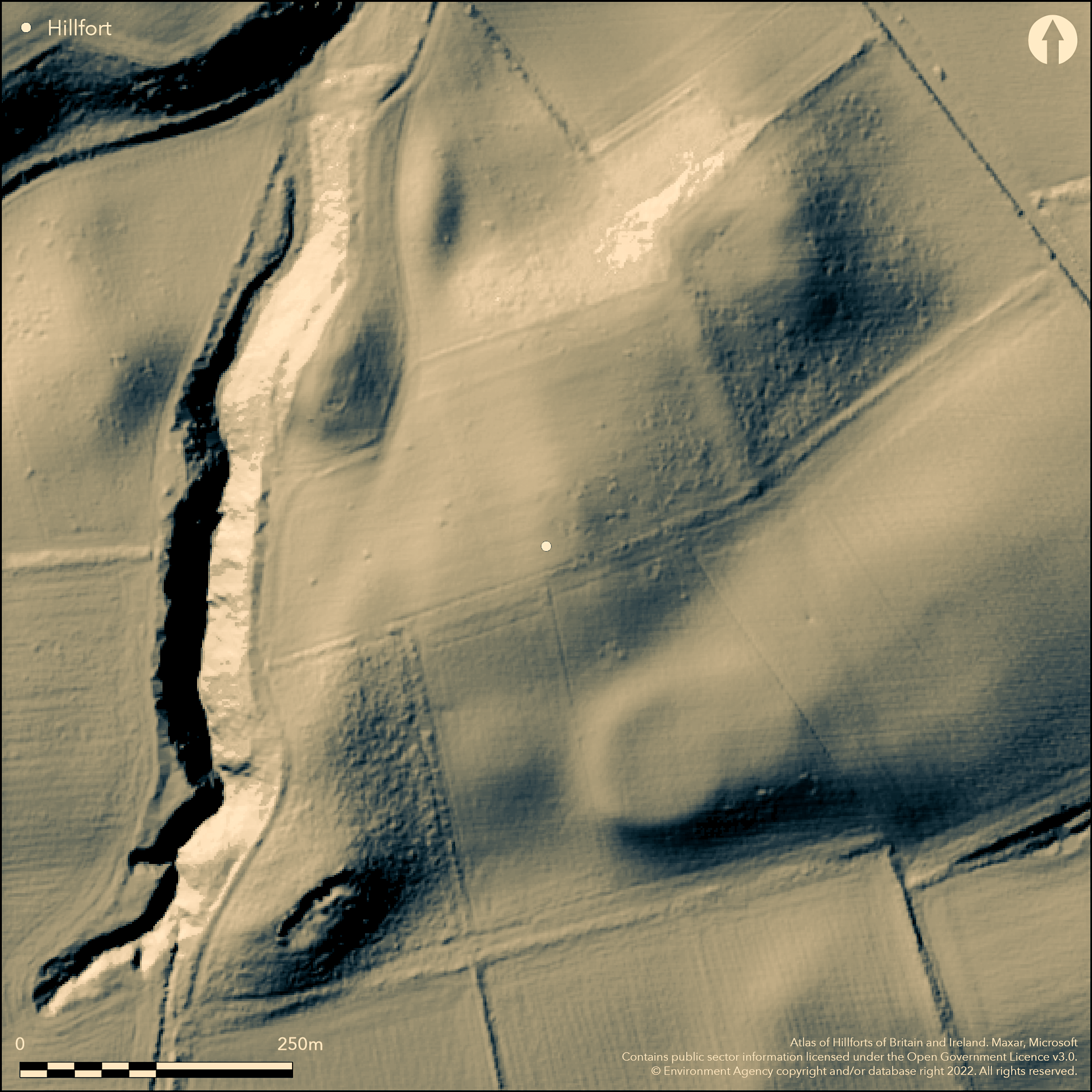
LiDAR 1m DTM Hillshade
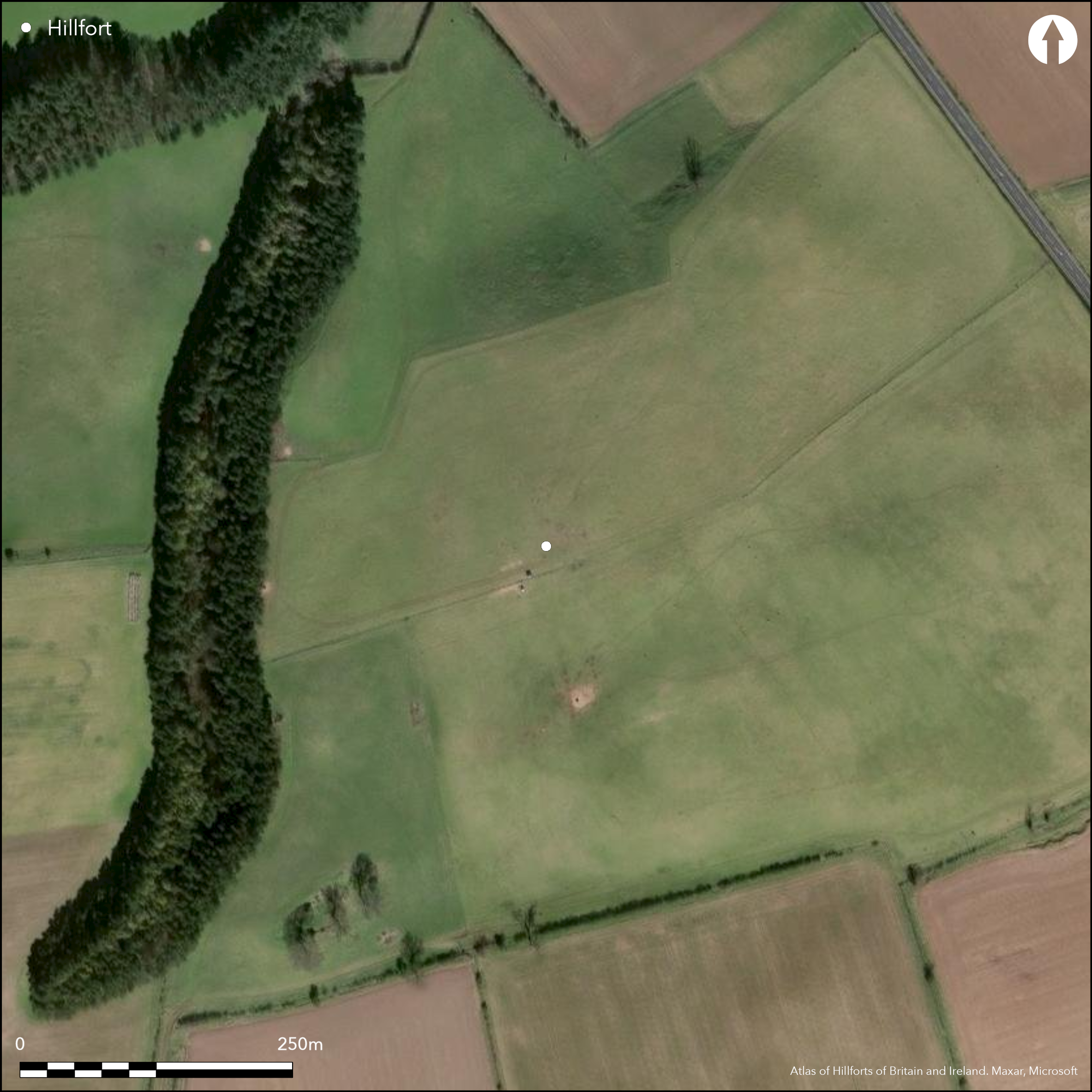
Satellite Imagery
LiDAR 1m DTM Hillshade
Satellite Imagery
Scroll left/right to view further images.
HER: Northumberland 12863 (None)
NMR: None (None)
SM: None
NGR: NT 9147 3746
X: 391470 Y: 637460 (OSGB36)
A possible palisaded enclosure lying 600m to the SW of Crookham on the SE-facing shoulder of Pace Hill at 75m OD. The location commands views across the Till Valley towards a bend in the River Till at Letham Hill Haugh. Between five and eight concentric ditches, including two sets of double palisades separated by 3m, were captured on aerial photographs in 1994. Oval in plan it measures 120m by 90m enclosing approximately 0.8ha. Some ditches can be seen to intercut and may not all have been contemporary. An entrance lies in the SE. On either side of the entrance one set of twin palisades terminates in hairpin bends. In the S the outermost palisade ditch is said to be cut by the outer ditch of the possible hillfort(Atlas No. 2044), suggesting the palisaded enclosure was earlier. No further investigation is known, undated.
Citizen Science: ✗
Reliability of Data: Unconfirmed
Reliability of Interpretation: Confirmed
X: -237893 Y: 7485241 (EPSG: 3857)
Longitude: -2.1370323570899172 Latitude: 55.63066880085488 (EPSG:4326)
Country: England
Current County or Unitary Authority: Northumberland
Historic County: Northumberland
Current Parish/Community/Council/Townland: Ford
None
| Extant | ✗ |
| Cropmark | ✓ |
| Likely Destroyed | ✗ |
None
| Woodland | ✗ |
| Commercial Forestry Plantation | ✗ |
| Parkland | ✗ |
| Pasture (Grazing) | ✗ |
| Arable | ✓ |
| Scrub/Bracken | ✗ |
| Bare Outcrop | ✗ |
| Heather/Moorland | ✗ |
| Heath | ✗ |
| Built-up | ✗ |
| Coastal Grassland | ✗ |
| Other | ✗ |
A palisaded enclosure lying at 75m OD. The land slopes to the SE offering commanding views of the Till Valley
| Contour Fort | ✗ |
| Partial Contour Fort | ✗ |
| Promontory Fort | ✗ |
| Hillslope Fort | ✓ |
| Level Terrain Fort | ✗ |
| Marsh Fort | ✗ |
| Multiple Enclosure Fort | ✗ |
| Hilltop | ✗ |
| Coastal Promontory | ✗ |
| Inland Promontory | ✗ |
| Valley Bottom | ✗ |
| Knoll/Hillock/Outcrop | ✗ |
| Ridge | ✗ |
| Cliff/Plateau-edge/Scarp | ✗ |
| Hillslope | ✓ |
| Lowland | ✓ |
| Spur | ✗ |
Dominant Topographic Feature: Hillslope
| North | ✓ |
| Northeast | ✗ |
| East | ✗ |
| Southeast | ✗ |
| South | ✗ |
| Southwest | ✗ |
| West | ✗ |
| Northwest | ✗ |
| Level | ✗ |
Altitude: 75.0m
N/A
Undated
Reliability: D - None
| Pre 1200BC | ✗ |
| 1200BC - 800BC | ✗ |
| 800BC - 400BC | ✗ |
| 400BC - AD50 | ✗ |
| AD50 - AD400 | ✗ |
| AD400 - AD 800 | ✗ |
| Post AD800 | ✗ |
| Unknown | ✓ |
| Pre Hillfort: | None |
| Post Hillfort: | None |
Transcription by Rog Palmer in Passmore and Waddington (2012, 72). It does not appear to be recorded on Pastscape.
| Other (2012): | None |
No features are recorded
A stream lies to the W
| None | ✓ |
| Spring | ✗ |
| Stream | ✗ |
| Pool | ✗ |
| Flush | ✗ |
| Well | ✗ |
| Other | ✗ |
None
| No Known Features | ✓ |
| Round Stone Structures | ✗ |
| Rectangular Stone Structures | ✗ |
| Curvilinear Platforms | ✗ |
| Other Roundhouse Evidence | ✗ |
| Pits | ✗ |
| Quarry Hollows | ✗ |
| Other | ✗ |
None
| No Known Excavation | ✓ |
| Pits | ✗ |
| Postholes | ✗ |
| Roundhouses | ✗ |
| Rectangular Structures | ✗ |
| Roads/Tracks | ✗ |
| Quarry Hollows | ✗ |
| Other | ✗ |
| Nothing Found | ✗ |
None
| No Known Geophysics | ✓ |
| Pits | ✗ |
| Roundhouses | ✗ |
| Rectangular Structures | ✗ |
| Roads/Tracks | ✗ |
| Quarry Hollows | ✗ |
| Other | ✗ |
| Nothing Found | ✗ |
None
| No Known Finds | ✓ |
| Pottery | ✗ |
| Metal | ✗ |
| Metalworking | ✗ |
| Human Bones | ✗ |
| Animal Bones | ✗ |
| Lithics | ✗ |
| Environmental | ✗ |
| Other | ✗ |
None
| APs Not Checked | ✗ |
| None | ✓ |
| Roundhouses | ✗ |
| Rectangular Structures | ✗ |
| Pits | ✗ |
| Postholes | ✗ |
| Roads/Tracks | ✗ |
| Other | ✗ |
An entrance lies in the SE. On either side of the entrance one set of twin palisades terminates in hairpin bends.
| None: | Insufficient information to comment on location or number of breaks through each palisade |
| 2: | None |
Guard Chambers: ✗
Chevaux de Frise: ✗
| 1. In-turned (South east): | None |
Between five and eight concentric ditches including two sets of double palisades separated by 3m
| Area 1: | 0.6ha. |
| Total: | 0.6ha. |
Total Footprint Area: Noneha.
None
| ✓ | Circuits probably not all contemporary |
| ✓ | Between 5 and 8 |
| NE Quadrant: | None |
| SE Quadrant: | None |
| SW Quadrant: | None |
| NW Quadrant: | None |
| Total: | None |
| Partial Univallate | ✗ |
| Univallate | ✗ |
| Partial Bivallate | ✗ |
| Bivallate | ✗ |
| Partial Multivallate | ✗ |
| Multivallate | ✗ |
| Unknown | ✓ |
| Partial Univallate | ✗ |
| Univallate | ✗ |
| Partial Bivallate | ✗ |
| Bivallate | ✗ |
| Partial Multivallate | ✗ |
| Multivallate | ✓ |
None
| None | ✗ |
| Earthen Bank | ✗ |
| Stone Wall | ✗ |
| Rubble | ✗ |
| Wall-walk | ✗ |
| Evidence of Timber | ✗ |
| Vitrification | ✗ |
| Other Burning | ✗ |
| Palisade | ✓ |
| Counter Scarp Bank | ✗ |
| Berm | ✗ |
| Unfinished | ✗ |
| Other | ✗ |
None
| None | ✗ |
| Earthen Bank | ✗ |
| Stone Wall | ✗ |
| Murus Duplex | ✗ |
| Timber-framed | ✗ |
| Timber-laced | ✗ |
| Vitrification | ✗ |
| Other Burning | ✗ |
| Palisade | ✗ |
| Counter Scarp Bank | ✗ |
| Berm | ✗ |
| Unfinished | ✗ |
| No Known Excavation | ✓ |
| Other | ✗ |
| ✗ | None |
| ✓ | Between five and eight |
Number of Ditches: 5
| ✗ | None |
Passmore, D.G. and Waddington, C. 2012. Archaeology and Environment in Northumberland. Till-Tweed studies, Vol 2. Oxbow
Atlas of Hillforts:
Wikidata:
This work is licensed under CC BY-SA 4.0

 and should be cited as:
Lock, Gary and Ralston, Ian. 2024. Atlas of Hillforts of Britain and Ireland. Available at: https://hillforts.arch.ox.ac.uk
Document Version 1.1