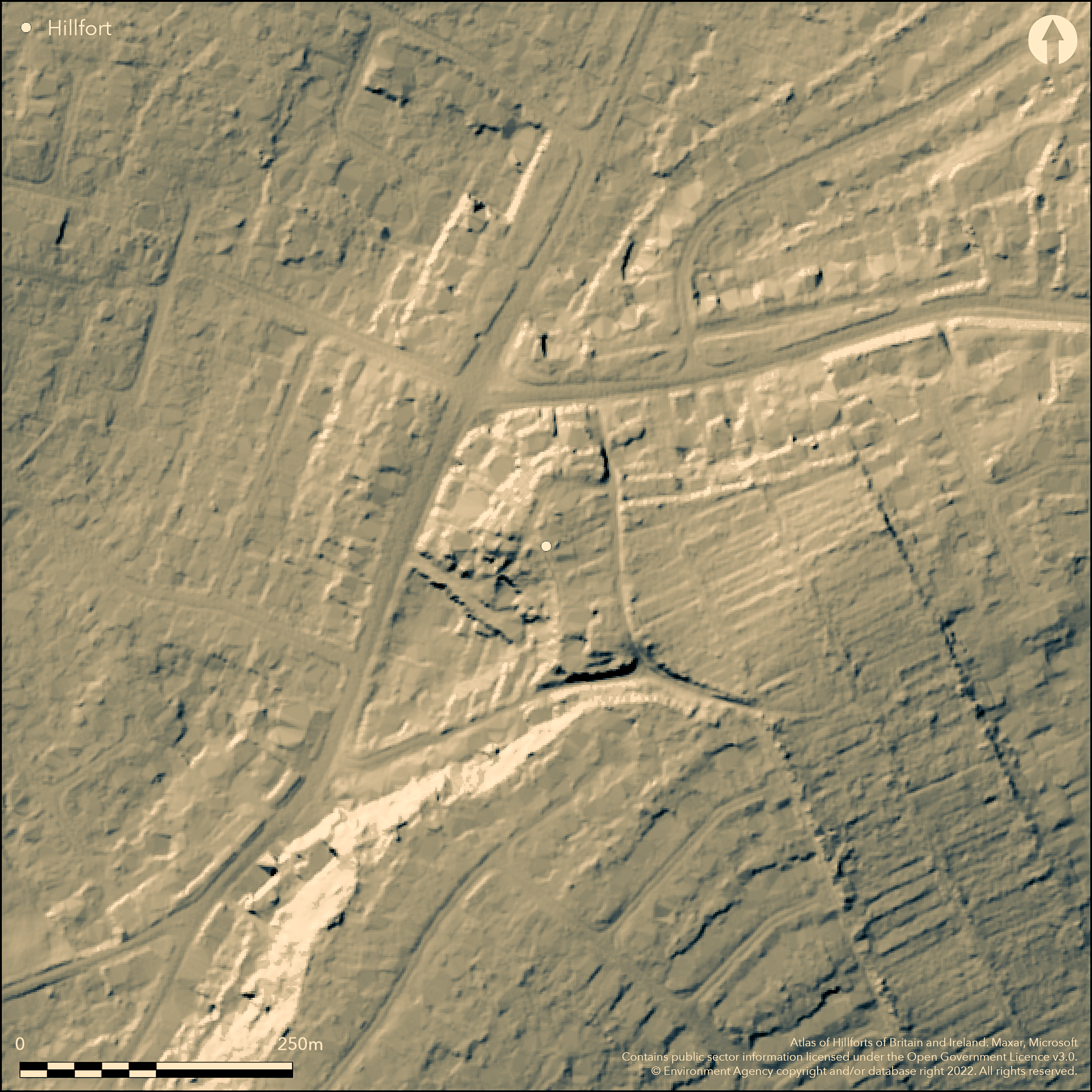
LiDAR 1m DTM Hillshade
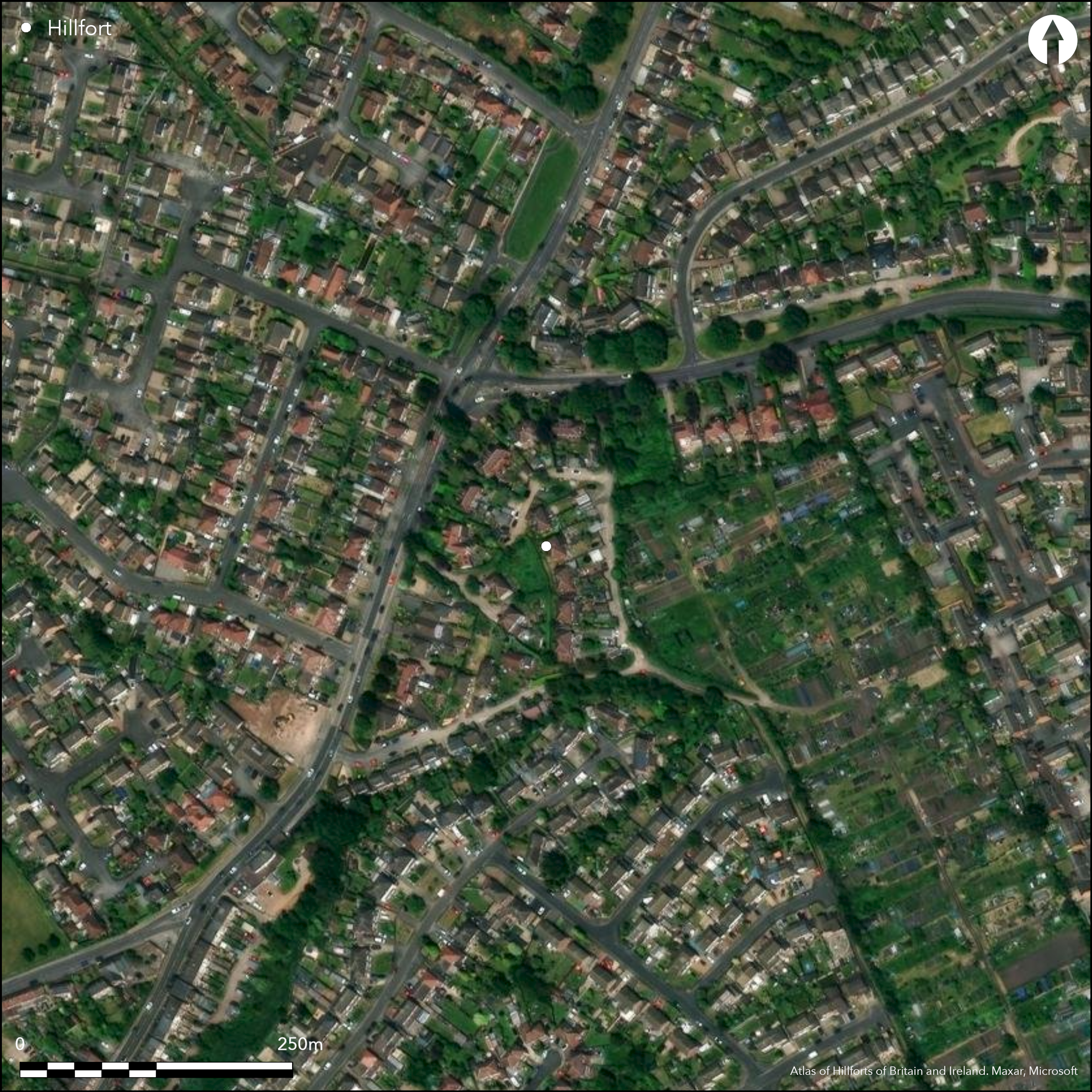
Satellite Imagery
LiDAR 1m DTM Hillshade
Satellite Imagery
Scroll left/right to view further images.
HER: Nottinghamshire 4004 (None)
NMR: SK 56 SW 7 (318232)
SM: None
NGR: SK 5492 6372
X: 454920 Y: 363720 (OSGB36)
On Winny Hill, a possible small hillfort, possibly multivallate, but now destroyed. The ramparts were said to follow the crown of the hill except in the E where they went up the hill and in the S where they followed a sunken road towards a brook A further double bank and ditch was said to lie on the NW side extending for approximately 146m. The bank rose 3.7m from the foot of the hill and 7.3m into the ditch which was 5.5m wide at the bottom. The second bank, almost 11m wide was of a similar height with the outer ditch 3.7m deep (Stevenson 1906). These features were noted during an field inspectors visit in 1974 but said to look like 'old terraced roads that no longer exist'. 1879-85 OS mapping shows a ditch 117m in length centred at SK54956375 and is annotated 'Camp (site of)'. Undated.
Citizen Science: ✗
Reliability of Data: Unconfirmed
Reliability of Interpretation: Irreconciled issues
X: -131348 Y: 7014089 (EPSG: 3857)
Longitude: -1.1799212569514983 Latitude: 53.16775540404162 (EPSG:4326)
Country: England
Current County or Unitary Authority: Nottinghamshire
Historic County: Nottinghamshire
Current Parish/Community/Council/Townland: Mansfield
None
| Extant | ✗ |
| Cropmark | ✗ |
| Likely Destroyed | ✓ |
Housing now covers the area
| Woodland | ✗ |
| Commercial Forestry Plantation | ✗ |
| Parkland | ✗ |
| Pasture (Grazing) | ✗ |
| Arable | ✗ |
| Scrub/Bracken | ✗ |
| Bare Outcrop | ✗ |
| Heather/Moorland | ✗ |
| Heath | ✗ |
| Built-up | ✓ |
| Coastal Grassland | ✗ |
| Other | ✗ |
A partial contour fort lying at 90m OD on the crown of a hill.
| Contour Fort | ✗ |
| Partial Contour Fort | ✓ |
| Promontory Fort | ✗ |
| Hillslope Fort | ✗ |
| Level Terrain Fort | ✗ |
| Marsh Fort | ✗ |
| Multiple Enclosure Fort | ✗ |
| Hilltop | ✓ |
| Coastal Promontory | ✗ |
| Inland Promontory | ✗ |
| Valley Bottom | ✗ |
| Knoll/Hillock/Outcrop | ✗ |
| Ridge | ✗ |
| Cliff/Plateau-edge/Scarp | ✗ |
| Hillslope | ✗ |
| Lowland | ✗ |
| Spur | ✗ |
Dominant Topographic Feature: Small hill
| North | ✗ |
| Northeast | ✗ |
| East | ✗ |
| Southeast | ✗ |
| South | ✗ |
| Southwest | ✗ |
| West | ✗ |
| Northwest | ✗ |
| Level | ✓ |
Altitude: 90.0m
N/A
The site is undated
Reliability: D - None
| Pre 1200BC | ✗ |
| 1200BC - 800BC | ✗ |
| 800BC - 400BC | ✗ |
| 400BC - AD50 | ✗ |
| AD50 - AD400 | ✗ |
| AD400 - AD 800 | ✗ |
| Post AD800 | ✗ |
| Unknown | ✓ |
| Pre Hillfort: | None |
| Post Hillfort: | None |
Recorded on 1885-1900 OS mapping. Recorded by Rooke (1789) with plan; Field inspection 1976
| 1st Identified Written Reference (1789): | None |
| Other (1976): | None |
| 1st Identified Map Depiction (None): | None |
No internal features are recorded
River Maun 480m to the S
| None | ✓ |
| Spring | ✗ |
| Stream | ✗ |
| Pool | ✗ |
| Flush | ✗ |
| Well | ✗ |
| Other | ✗ |
None
| No Known Features | ✓ |
| Round Stone Structures | ✗ |
| Rectangular Stone Structures | ✗ |
| Curvilinear Platforms | ✗ |
| Other Roundhouse Evidence | ✗ |
| Pits | ✗ |
| Quarry Hollows | ✗ |
| Other | ✗ |
None
| No Known Excavation | ✓ |
| Pits | ✗ |
| Postholes | ✗ |
| Roundhouses | ✗ |
| Rectangular Structures | ✗ |
| Roads/Tracks | ✗ |
| Quarry Hollows | ✗ |
| Other | ✗ |
| Nothing Found | ✗ |
None
| No Known Geophysics | ✓ |
| Pits | ✗ |
| Roundhouses | ✗ |
| Rectangular Structures | ✗ |
| Roads/Tracks | ✗ |
| Quarry Hollows | ✗ |
| Other | ✗ |
| Nothing Found | ✗ |
None
| No Known Finds | ✓ |
| Pottery | ✗ |
| Metal | ✗ |
| Metalworking | ✗ |
| Human Bones | ✗ |
| Animal Bones | ✗ |
| Lithics | ✗ |
| Environmental | ✗ |
| Other | ✗ |
None
| APs Not Checked | ✓ |
| None | ✗ |
| Roundhouses | ✗ |
| Rectangular Structures | ✗ |
| Pits | ✗ |
| Postholes | ✗ |
| Roads/Tracks | ✗ |
| Other | ✗ |
The location of entrances is not recorded
| 0: | None |
| 2: | None |
Guard Chambers: ✗
Chevaux de Frise: ✗
Possibly multivallate, but now destroyed. The defences were said to follow the crown of the hill except in the E where they went up the hill and in the S where they followed a sunken road towards a brook A further double bank and ditch was said to lie on the NW side extending for approximately 146m. The bank rose 3.7m from the foot of the hill and 7.3m into the ditch which was 5.5m wide at the bottom. The second bank, almost 11m wide was of a similar height with the outer ditch 3.7m deep
| Area 1: | 1.2ha. |
| Total: | 1.2ha. |
Total Footprint Area: Noneha.
None
| ✗ | Estimated by Hogg to be less that 1.2ha |
| ✓ | Assumed, but unable to determine from description, with those in the NW possibly old holloways |
| NE Quadrant: | 2 |
| SE Quadrant: | 2 |
| SW Quadrant: | 2 |
| NW Quadrant: | 4 |
| Total: | 4 |
| Partial Univallate | ✗ |
| Univallate | ✗ |
| Partial Bivallate | ✓ |
| Bivallate | ✗ |
| Partial Multivallate | ✓ |
| Multivallate | ✗ |
| Unknown | ✗ |
| Partial Univallate | ✗ |
| Univallate | ✗ |
| Partial Bivallate | ✗ |
| Bivallate | ✗ |
| Partial Multivallate | ✗ |
| Multivallate | ✗ |
Destroyed
| None | ✓ |
| Earthen Bank | ✗ |
| Stone Wall | ✗ |
| Rubble | ✗ |
| Wall-walk | ✗ |
| Evidence of Timber | ✗ |
| Vitrification | ✗ |
| Other Burning | ✗ |
| Palisade | ✗ |
| Counter Scarp Bank | ✗ |
| Berm | ✗ |
| Unfinished | ✗ |
| Other | ✗ |
None
| None | ✗ |
| Earthen Bank | ✗ |
| Stone Wall | ✗ |
| Murus Duplex | ✗ |
| Timber-framed | ✗ |
| Timber-laced | ✗ |
| Vitrification | ✗ |
| Other Burning | ✗ |
| Palisade | ✗ |
| Counter Scarp Bank | ✗ |
| Berm | ✗ |
| Unfinished | ✗ |
| No Known Excavation | ✓ |
| Other | ✗ |
| ✗ | None |
| ✓ | None |
Number of Ditches: 2
| ✗ | None |
Stevenson, W. 1906. Victoria County History, Nottinghamshire Vol. I (1906), 296-7
Yonge G. and Rooke, H. 1789. Observations on the Roman Road and Camps in the neighbourhood of Mansfield Woodhouse in the county of Nottingham. Archaeologia, 9, 193-205.
Atlas of Hillforts:
Wikidata:
This work is licensed under CC BY-SA 4.0

 and should be cited as:
Lock, Gary and Ralston, Ian. 2024. Atlas of Hillforts of Britain and Ireland. Available at: https://hillforts.arch.ox.ac.uk
Document Version 1.1