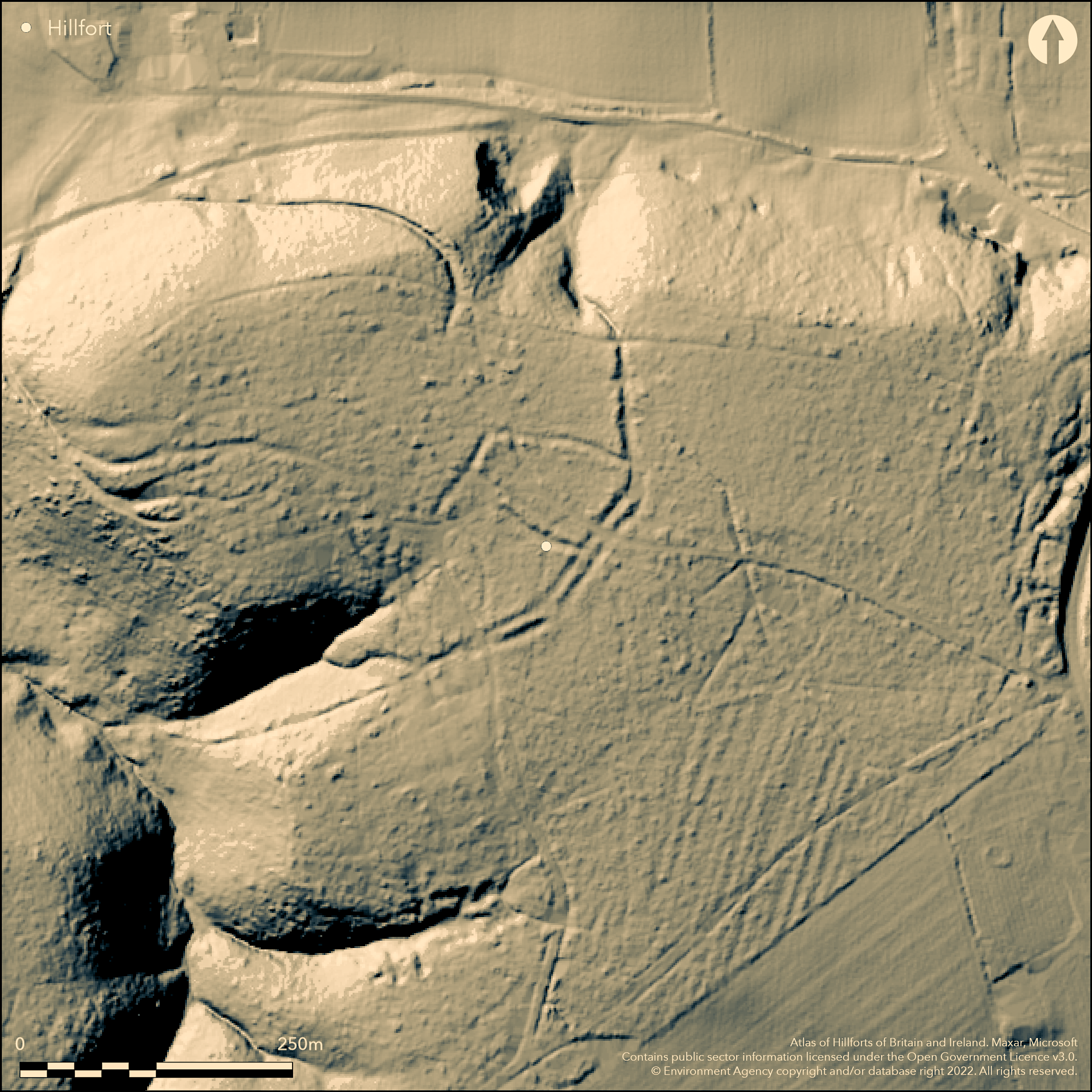
LiDAR 1m DTM Hillshade
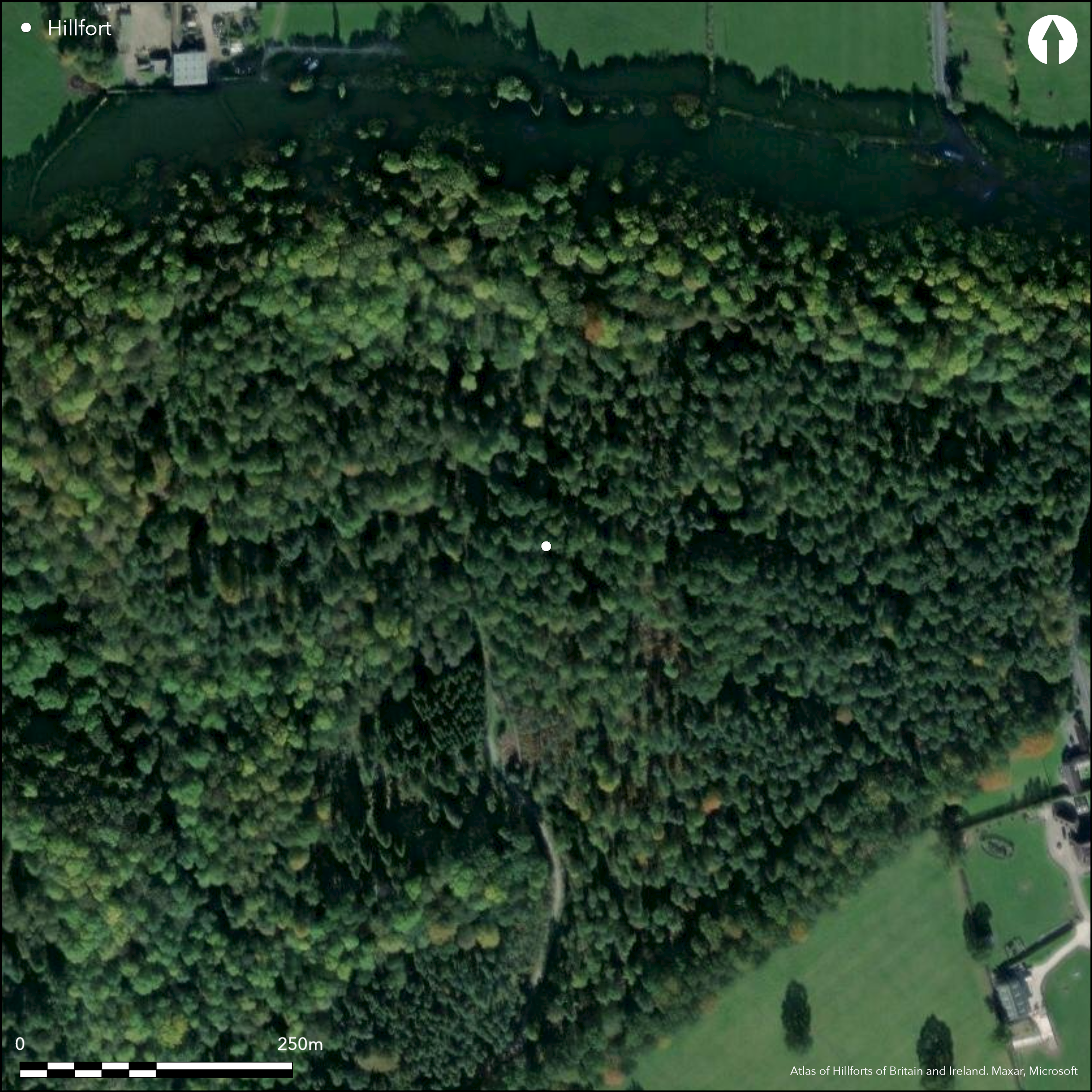
Satellite Imagery
LiDAR 1m DTM Hillshade
Satellite Imagery
Scroll left/right to view further images.
HER: Staffordshire 00727-MST727 (None)
NMR: SK 12 NW 16 (921859)
SM: None
NGR: SK 12960 28940
X: 412960 Y: 328940 (OSGB36)
Approximately 270m to the SW of Marchington Cliff, a possible promontory fort lying within woodland at 157m OD. The site was recorded on aerial photographs taken in the 1940 and 50's and has been variously transcribed as either two shalllow ditches with a low rounded medial bank which run across the neck of a prominent spur. The bank does not run across the entire length but the ditches join at each end of the steep re-entrants to form one large ditch. An alternate transcription suggests two banks and two ditches, running for 200m giving an enclosed area of approximately 300m by 200m. An incomplete asymmetric polygonal enclosure, 72m by 44m, comprising a single bank and ditch, with four sides adjoins the inside of the earthwork but the relationship between the earthworks is uncertain. Enclosed area seems to be c.0.56ha. Forest tracks run across the earthworks and the location of an original entrance is uncertain. Recorded as an 'earthwork' on 1974-5 1:2,500 OS mapping. Minimal investigations, undated.
Citizen Science: ✗
Reliability of Data: Unconfirmed
Reliability of Interpretation: Unconfirmed
X: -201374 Y: 6956733 (EPSG: 3857)
Longitude: -1.8089714143048266 Latitude: 52.85777575501551 (EPSG:4326)
Country: England
Current County or Unitary Authority: Staffordshire
Historic County: Staffordshire
Current Parish/Community/Council/Townland: Marchington
None
| Extant | ✓ |
| Cropmark | ✗ |
| Likely Destroyed | ✗ |
None
| Woodland | ✓ |
| Commercial Forestry Plantation | ✗ |
| Parkland | ✗ |
| Pasture (Grazing) | ✗ |
| Arable | ✗ |
| Scrub/Bracken | ✗ |
| Bare Outcrop | ✗ |
| Heather/Moorland | ✗ |
| Heath | ✗ |
| Built-up | ✗ |
| Coastal Grassland | ✗ |
| Other | ✗ |
A possible promontory fort lying at 157m OD on a prominent spur
| Contour Fort | ✗ |
| Partial Contour Fort | ✗ |
| Promontory Fort | ✓ |
| Hillslope Fort | ✗ |
| Level Terrain Fort | ✗ |
| Marsh Fort | ✗ |
| Multiple Enclosure Fort | ✗ |
| Hilltop | ✓ |
| Coastal Promontory | ✗ |
| Inland Promontory | ✗ |
| Valley Bottom | ✗ |
| Knoll/Hillock/Outcrop | ✗ |
| Ridge | ✗ |
| Cliff/Plateau-edge/Scarp | ✗ |
| Hillslope | ✗ |
| Lowland | ✗ |
| Spur | ✓ |
Dominant Topographic Feature: Prominent spur
| North | ✗ |
| Northeast | ✗ |
| East | ✗ |
| Southeast | ✗ |
| South | ✗ |
| Southwest | ✗ |
| West | ✗ |
| Northwest | ✗ |
| Level | ✓ |
Altitude: 157.0m
N/A
The site is undated
Reliability: D - None
| Pre 1200BC | ✗ |
| 1200BC - 800BC | ✗ |
| 800BC - 400BC | ✗ |
| 400BC - AD50 | ✗ |
| AD50 - AD400 | ✗ |
| AD400 - AD 800 | ✗ |
| Post AD800 | ✗ |
| Unknown | ✓ |
| Pre Hillfort: | None |
| Post Hillfort: | None |
Field investigation in 1975, recorded as an 'earthwork' on 1974-5 1:2,500 OS mapping. General reference in Greenslade & Stuart (1984).
| Other (1975): | Field investigation |
| 1st Identified Written Reference (1984): | None |
| 1st Identified Map Depiction (None): | None |
Incomplete asymmetric polygonal enclosure, 72m by 44m, comprising a single bank and ditch adjoins the inside of the earthwork
Streams and springs to the NW
| None | ✓ |
| Spring | ✗ |
| Stream | ✗ |
| Pool | ✗ |
| Flush | ✗ |
| Well | ✗ |
| Other | ✗ |
Enclosure
| No Known Features | ✗ |
| Round Stone Structures | ✗ |
| Rectangular Stone Structures | ✗ |
| Curvilinear Platforms | ✗ |
| Other Roundhouse Evidence | ✗ |
| Pits | ✗ |
| Quarry Hollows | ✗ |
| Other | ✓ |
None
| No Known Excavation | ✓ |
| Pits | ✗ |
| Postholes | ✗ |
| Roundhouses | ✗ |
| Rectangular Structures | ✗ |
| Roads/Tracks | ✗ |
| Quarry Hollows | ✗ |
| Other | ✗ |
| Nothing Found | ✗ |
None
| No Known Geophysics | ✓ |
| Pits | ✗ |
| Roundhouses | ✗ |
| Rectangular Structures | ✗ |
| Roads/Tracks | ✗ |
| Quarry Hollows | ✗ |
| Other | ✗ |
| Nothing Found | ✗ |
None
| No Known Finds | ✓ |
| Pottery | ✗ |
| Metal | ✗ |
| Metalworking | ✗ |
| Human Bones | ✗ |
| Animal Bones | ✗ |
| Lithics | ✗ |
| Environmental | ✗ |
| Other | ✗ |
Wooded
| APs Not Checked | ✓ |
| None | ✗ |
| Roundhouses | ✗ |
| Rectangular Structures | ✗ |
| Pits | ✗ |
| Postholes | ✗ |
| Roads/Tracks | ✗ |
| Other | ✗ |
The location of entrances is not recorded
| None: | None |
| 2: | None |
Guard Chambers: ✗
Chevaux de Frise: ✗
Descriptions vary. Either two shalllow ditches with a low rounded medial bank which run across the neck of a prominent spur. The bank does not run across the entire length but the ditches join at each end of the steep re-entrants to form one large ditch. An alternate transcription suggests two banks and two ditches, running for 200m giving an enclosed area of approximately 300m by 200m
| Area 1: | 0.56ha. |
| Total: | 0.56ha. |
Total Footprint Area: Noneha.
None
| ✗ | None |
| ✗ | Descriptions vary - up to two ramparts |
| NE Quadrant: | 2 |
| SE Quadrant: | 2 |
| SW Quadrant: | None |
| NW Quadrant: | None |
| Total: | 2 |
| Partial Univallate | ✗ |
| Univallate | ✗ |
| Partial Bivallate | ✓ |
| Bivallate | ✗ |
| Partial Multivallate | ✗ |
| Multivallate | ✗ |
| Unknown | ✗ |
| Partial Univallate | ✗ |
| Univallate | ✗ |
| Partial Bivallate | ✗ |
| Bivallate | ✗ |
| Partial Multivallate | ✗ |
| Multivallate | ✗ |
None
| None | ✗ |
| Earthen Bank | ✓ |
| Stone Wall | ✗ |
| Rubble | ✗ |
| Wall-walk | ✗ |
| Evidence of Timber | ✗ |
| Vitrification | ✗ |
| Other Burning | ✗ |
| Palisade | ✗ |
| Counter Scarp Bank | ✗ |
| Berm | ✗ |
| Unfinished | ✗ |
| Other | ✗ |
None
| None | ✗ |
| Earthen Bank | ✗ |
| Stone Wall | ✗ |
| Murus Duplex | ✗ |
| Timber-framed | ✗ |
| Timber-laced | ✗ |
| Vitrification | ✗ |
| Other Burning | ✗ |
| Palisade | ✗ |
| Counter Scarp Bank | ✗ |
| Berm | ✗ |
| Unfinished | ✗ |
| No Known Excavation | ✓ |
| Other | ✗ |
| ✗ | None |
| ✓ | None |
Number of Ditches: 2
| ✗ | None |
Greenslade, M.W and Stuart, D.G.1984. A History of Staffordshire. Chichester: Phillimore. 2nd ed.
Atlas of Hillforts:
Wikidata:
This work is licensed under CC BY-SA 4.0

 and should be cited as:
Lock, Gary and Ralston, Ian. 2024. Atlas of Hillforts of Britain and Ireland. Available at: https://hillforts.arch.ox.ac.uk
Document Version 1.1