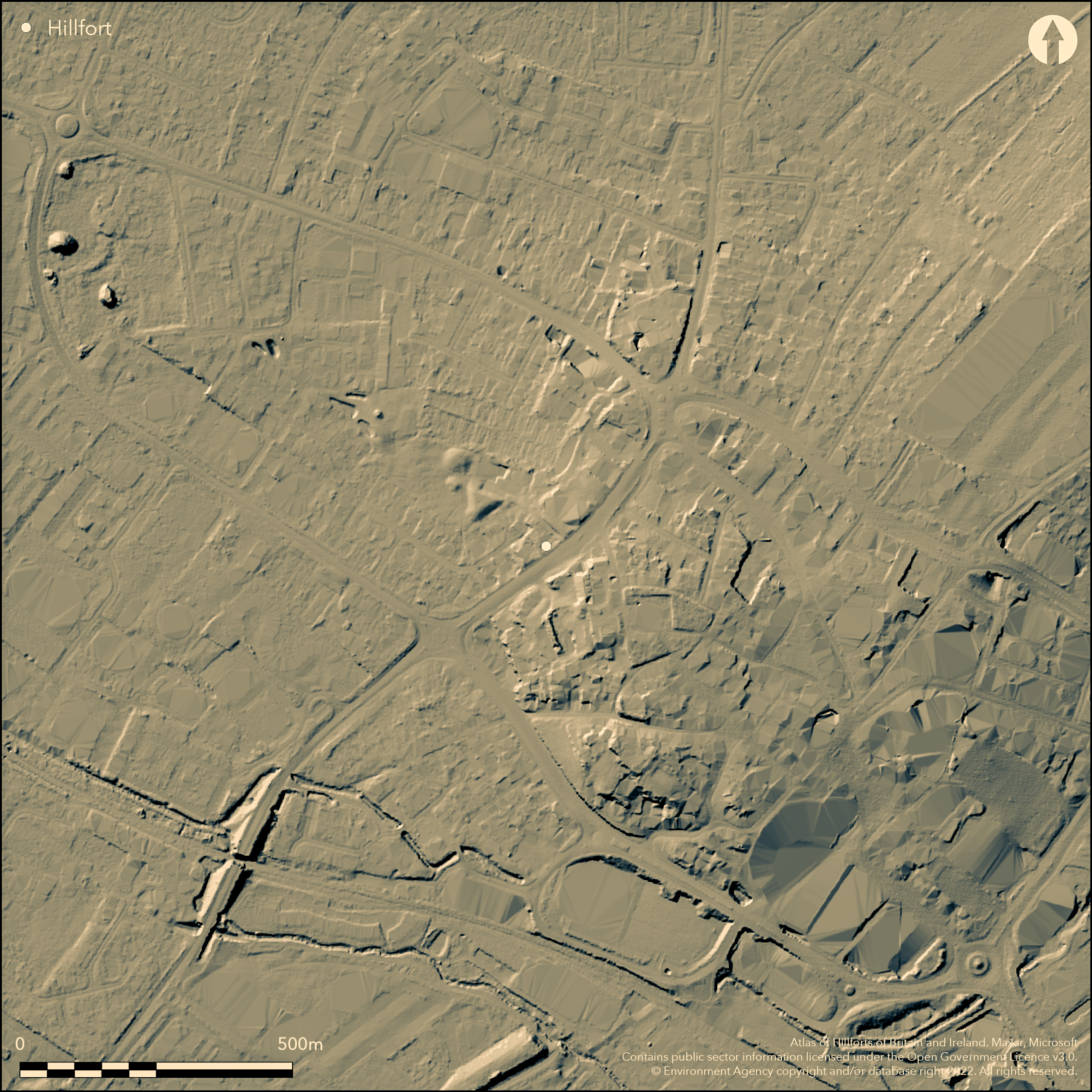
LiDAR 1m DTM Hillshade
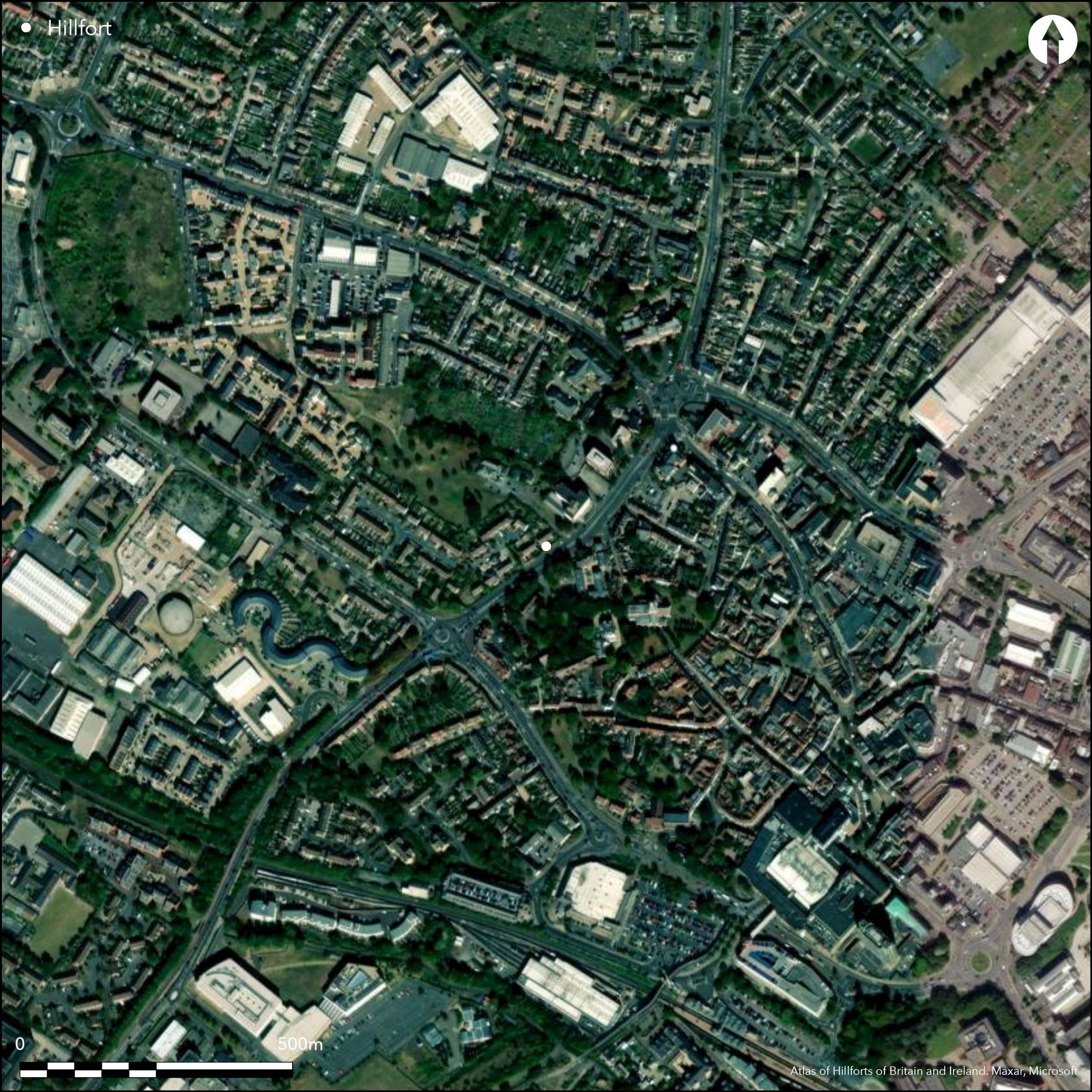
Satellite Imagery
LiDAR 1m DTM Hillshade
Satellite Imagery
Scroll left/right to view further images.
HER: Buckinghamshire 291800000 (None)
NMR: SP 81 SW 55 (870843)
SM: None
NGR: SP 8159 1399
X: 481590 Y: 213995 (OSGB36)
A univallate contour fort on a small hill/ridge now completely beneath the town of Aylesbury. Its existence was suggested in the 1960s due to finds of Iron Age pottery and has now been confirmed by four excavation sites within the town that have shown evidence not least of the substantial ditch. The largest area of excavation was in 1985 within the grounds of the Prebendal adjacent to St. Mary's church where the 3m deep ditch was followed for 20m (Farley and Jones 2012), this had been re-cut at least once. This followed the natural contour of the hilltop and when extrapolated through the other three excavated points gives a suggested enclosed area of 10ha. Further ditches were looked for and not found suggesting a univallate site. A human skull was found in the ditch bottom with clay sling shots. Within the Prebendal excavated area. the hillfort's interior was much disturbed by medieval and post-medieval features, including the Minster ditch dated to AD700. One area of Iron Age deposits remained which appears to be a 'ritual area' containing masses of human and animal bone. In total the parts of five humans, one young woman and four children, were buried with parts of mainly sheep and pigs. Some material was burnt, including a weaving comb, suggesting a pyre. No information on entrances. A series of C14 dates put the construction of the hillfort to 390-350 cal BC and the ritual deposit to 380-360 cal BC. The site is not recorded on OS mapping
Citizen Science: ✗
Reliability of Data: Confirmed
Reliability of Interpretation: Confirmed
X: -91027 Y: 6767390 (EPSG: 3857)
Longitude: -0.8177054346128961 Latitude: 51.81859011092313 (EPSG:4326)
Country: England
Current County or Unitary Authority: Buckinghamshire
Historic County: Buckinghamshire
Current Parish/Community/Council/Townland: Aylesbury
None
| Extant | ✗ |
| Cropmark | ✗ |
| Likely Destroyed | ✓ |
None
| Woodland | ✗ |
| Commercial Forestry Plantation | ✗ |
| Parkland | ✗ |
| Pasture (Grazing) | ✗ |
| Arable | ✗ |
| Scrub/Bracken | ✗ |
| Bare Outcrop | ✗ |
| Heather/Moorland | ✗ |
| Heath | ✗ |
| Built-up | ✓ |
| Coastal Grassland | ✗ |
| Other | ✗ |
Former contour fort lying on a ridge at 86m OD
| Contour Fort | ✓ |
| Partial Contour Fort | ✗ |
| Promontory Fort | ✗ |
| Hillslope Fort | ✗ |
| Level Terrain Fort | ✗ |
| Marsh Fort | ✗ |
| Multiple Enclosure Fort | ✗ |
| Hilltop | ✓ |
| Coastal Promontory | ✗ |
| Inland Promontory | ✗ |
| Valley Bottom | ✗ |
| Knoll/Hillock/Outcrop | ✗ |
| Ridge | ✓ |
| Cliff/Plateau-edge/Scarp | ✗ |
| Hillslope | ✗ |
| Lowland | ✗ |
| Spur | ✗ |
Dominant Topographic Feature: Ridge/hill top
| North | ✗ |
| Northeast | ✗ |
| East | ✓ |
| Southeast | ✗ |
| South | ✗ |
| Southwest | ✗ |
| West | ✓ |
| Northwest | ✗ |
| Level | ✗ |
Altitude: 86.0m
N/A
A series of C14 dates put the construction of the hillfort to 390-350 cal BC and the ritual deposit to 380-360 cal BC. Lithics suggest earlier use. Medieval and post-medieval Aylesbury.
Reliability: A - High
| Pre 1200BC | ✗ |
| 1200BC - 800BC | ✗ |
| 800BC - 400BC | ✗ |
| 400BC - AD50 | ✓ |
| AD50 - AD400 | ✗ |
| AD400 - AD 800 | ✗ |
| Post AD800 | ✗ |
| Unknown | ✗ |
| Pre Hillfort: | None |
| Post Hillfort: | None |
| C14: | None |
Ditch first recognised in 1973 excavation, main investigation in 1985 excavation.
| Excavation (1973): | None |
| Excavation (1985): | None |
Now built up so no surface evidence. Pottery, animal and human bones, sling shots and weaving comb from excavations.
None
| None | ✓ |
| Spring | ✗ |
| Stream | ✗ |
| Pool | ✗ |
| Flush | ✗ |
| Well | ✗ |
| Other | ✗ |
None
| No Known Features | ✓ |
| Round Stone Structures | ✗ |
| Rectangular Stone Structures | ✗ |
| Curvilinear Platforms | ✗ |
| Other Roundhouse Evidence | ✗ |
| Pits | ✗ |
| Quarry Hollows | ✗ |
| Other | ✗ |
None
| No Known Excavation | ✓ |
| Pits | ✗ |
| Postholes | ✗ |
| Roundhouses | ✗ |
| Rectangular Structures | ✗ |
| Roads/Tracks | ✗ |
| Quarry Hollows | ✗ |
| Other | ✗ |
| Nothing Found | ✗ |
None
| No Known Geophysics | ✓ |
| Pits | ✗ |
| Roundhouses | ✗ |
| Rectangular Structures | ✗ |
| Roads/Tracks | ✗ |
| Quarry Hollows | ✗ |
| Other | ✗ |
| Nothing Found | ✗ |
Sling shots
| No Known Finds | ✗ |
| Pottery | ✓ |
| Metal | ✗ |
| Metalworking | ✗ |
| Human Bones | ✓ |
| Animal Bones | ✓ |
| Lithics | ✗ |
| Environmental | ✗ |
| Other | ✓ |
None
| APs Not Checked | ✓ |
| None | ✗ |
| Roundhouses | ✗ |
| Rectangular Structures | ✗ |
| Pits | ✗ |
| Postholes | ✗ |
| Roads/Tracks | ✗ |
| Other | ✗ |
The location of entrances is unknown
| 0: | None |
| 2: | None |
Guard Chambers: ✗
Chevaux de Frise: ✗
3m deep ditch traced for over 20m along the slope and confirmed in three other places around the hilltop. Estimated enclosed area of 10ha.
| Area 1: | 10.0ha. |
| Total: | 10.0ha. |
Total Footprint Area: Noneha.
None
| ✗ | None |
| ✗ | None |
| NE Quadrant: | None |
| SE Quadrant: | None |
| SW Quadrant: | None |
| NW Quadrant: | None |
| Total: | None |
| Partial Univallate | ✗ |
| Univallate | ✗ |
| Partial Bivallate | ✗ |
| Bivallate | ✗ |
| Partial Multivallate | ✗ |
| Multivallate | ✗ |
| Unknown | ✓ |
| Partial Univallate | ✗ |
| Univallate | ✗ |
| Partial Bivallate | ✗ |
| Bivallate | ✗ |
| Partial Multivallate | ✗ |
| Multivallate | ✗ |
None
| None | ✓ |
| Earthen Bank | ✗ |
| Stone Wall | ✗ |
| Rubble | ✗ |
| Wall-walk | ✗ |
| Evidence of Timber | ✗ |
| Vitrification | ✗ |
| Other Burning | ✗ |
| Palisade | ✗ |
| Counter Scarp Bank | ✗ |
| Berm | ✗ |
| Unfinished | ✗ |
| Other | ✗ |
None
| None | ✓ |
| Earthen Bank | ✗ |
| Stone Wall | ✗ |
| Murus Duplex | ✗ |
| Timber-framed | ✗ |
| Timber-laced | ✗ |
| Vitrification | ✗ |
| Other Burning | ✗ |
| Palisade | ✗ |
| Counter Scarp Bank | ✗ |
| Berm | ✗ |
| Unfinished | ✗ |
| No Known Excavation | ✗ |
| Other | ✗ |
| ✗ | None |
| ✓ | None |
Number of Ditches: 1
| ✗ | None |
Farley M. and Jones, G. 2012. Iron Age Ritual: a Hillfort and Evidence for a Minster at Aylesbury, Buckinghamshire. Oxbow Books.
Farley, M. 2013. Discovering Aylesbury's hillfort. Defensive ditches and ritual Iron Age burials. Current Archaeol, 278, 34-41.
Atlas of Hillforts:
Wikidata:
This work is licensed under CC BY-SA 4.0

 and should be cited as:
Lock, Gary and Ralston, Ian. 2024. Atlas of Hillforts of Britain and Ireland. Available at: https://hillforts.arch.ox.ac.uk
Document Version 1.1