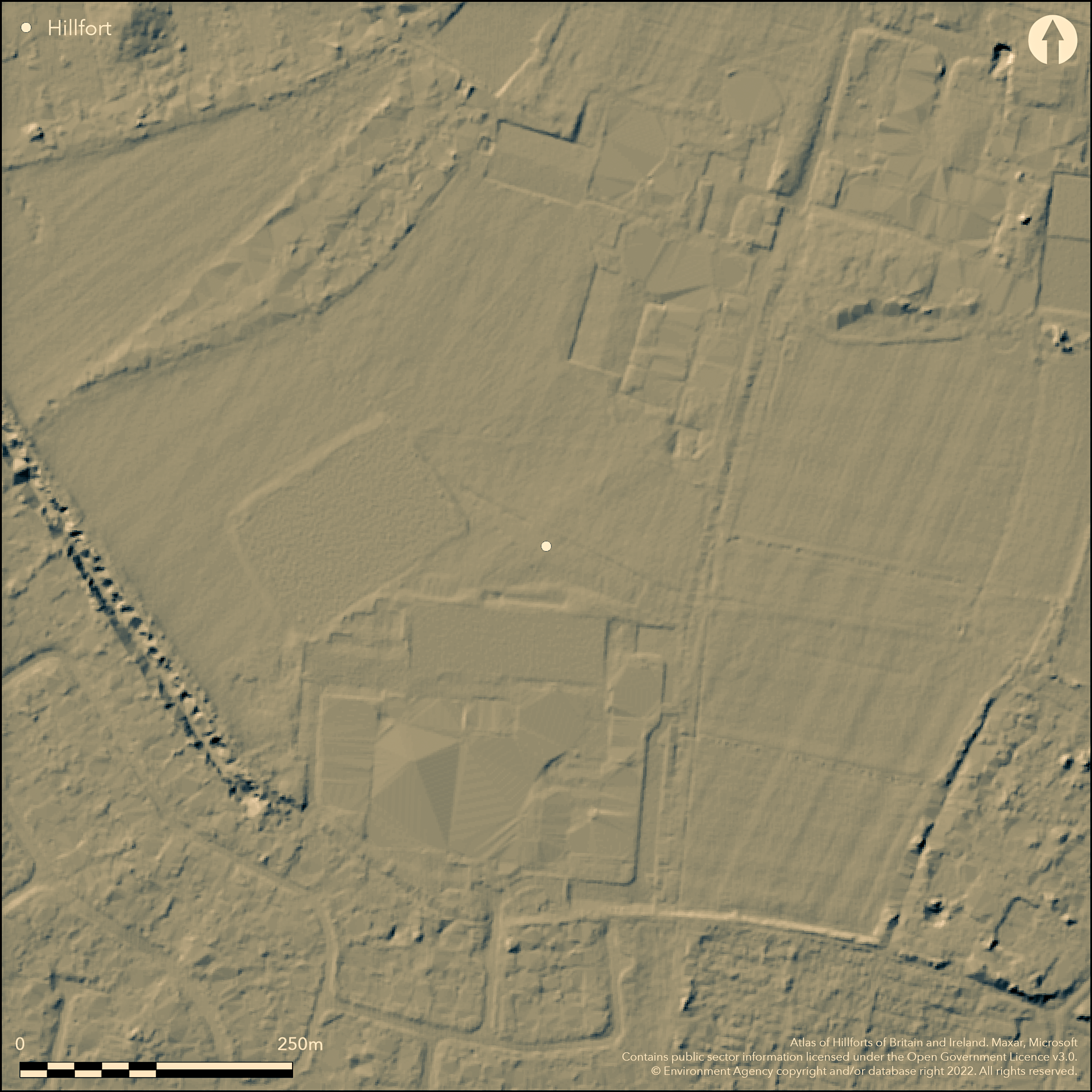
LiDAR 1m DTM Hillshade
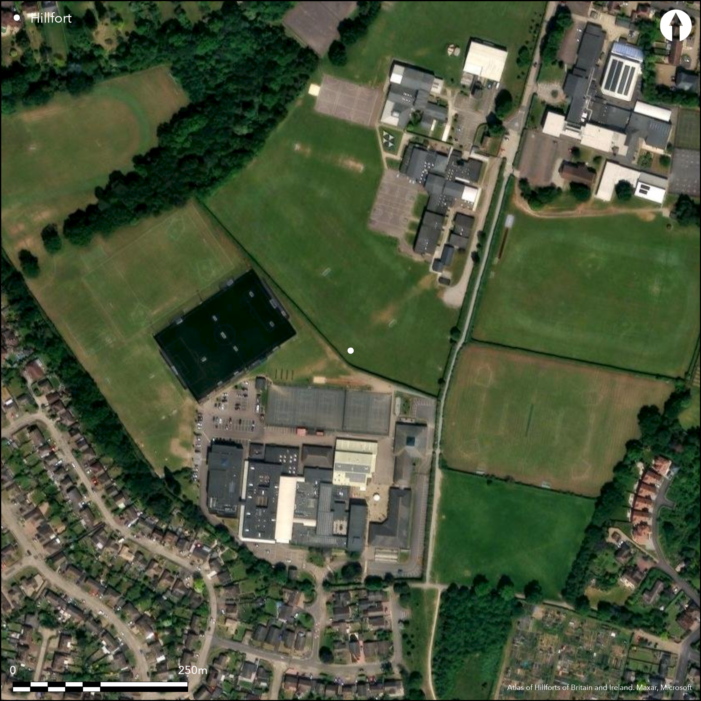
Satellite Imagery
LiDAR 1m DTM Hillshade
Satellite Imagery
Scroll left/right to view further images.
HER: Essex 11636 (None)
NMR: TL 92 SE 2; TL92NE 5; TL92NE 135; TL92SE 118; TL92SE 13; TL92SE 29 (384008; 383751; 1395497; 1397160; 384037; 384073)
SM: 1019960; 1019961; 1019962; 1019963; 1019964; 1019965; 1019966; 1019967; 1019968; 1019991; 1019992; 1019993
NGR: TL 9778 2444
X: 597780 Y: 224440 (OSGB36)
At Colchester, the territorial oppidum and Romano-British town of Camulodunum, the tribal capital of the Trinovantes and later the Catuvellauni. The earliest of the Iron Age enclosing works are the Pitchbury Ramparts near Braisewick, beginning in the 1st century BC but most date from the 1st century AD and enclose a total area of approximately 25 sq km (Cunliffe and Rowley 1976). They comprise lines of banks and V-shaped ditches, further naturally defined by the River Colne bounding the site to the N and E, and the Roman River valley forming the southern boundary. The earthworks were largely designed to close off the gap in the W between the two river valleys. Within the enclosed area are the sites of Gosbecks, primarily agricultural but later possibly a religious site; Sheepen on the banks of the River Colne, a port and industrial area with extensive leather and iron working activities and a mint, and Lexden where there are a number of burials have been recorded. Lexden Mount, one of the most prominent funerary monuments of Camulodunum, SAM List Entry Number 1019963, location TL 96862 24871 was partly excavated in 1910. Although disturbed prior to that it survives substantially intact. The central burial is thought to have been that of a native aristocrat. A further barrow within an area to the E of the Lexden Dyke, SAM List Entry Number 1019967, location TL 97537 24712, developed from an urnfield cemetery prior to the construction of the Lexden Tumulus. It is amongst the richest of the Iron Age burials discovered in Britain, with an array of personal and domestic grave goods including a number of amphorae imported from the Mediterranean. Approximately 6km now survive as extant earthworks, others as cropmarks. Further sections are known to survive as buried features. Included here as an oppidum.
Citizen Science: ✗
Reliability of Data: Confirmed
Reliability of Interpretation: Unconfirmed
X: 97109 Y: 6779067 (EPSG: 3857)
Longitude: 0.8723462783380609 Latitude: 51.88338073921929 (EPSG:4326)
Country: England; None
Current County or Unitary Authority: Essex
Historic County: Essex
Current Parish/Community/Council/Townland: Colchester
N/A as not a hillfort
| Extant | ✗ |
| Cropmark | ✗ |
| Likely Destroyed | ✗ |
None
| Woodland | ✗ |
| Commercial Forestry Plantation | ✗ |
| Parkland | ✗ |
| Pasture (Grazing) | ✗ |
| Arable | ✗ |
| Scrub/Bracken | ✗ |
| Bare Outcrop | ✗ |
| Heather/Moorland | ✗ |
| Heath | ✗ |
| Built-up | ✗ |
| Coastal Grassland | ✗ |
| Other | ✗ |
N/A as not a hillfort
| Contour Fort | ✗ |
| Partial Contour Fort | ✗ |
| Promontory Fort | ✗ |
| Hillslope Fort | ✗ |
| Level Terrain Fort | ✗ |
| Marsh Fort | ✗ |
| Multiple Enclosure Fort | ✗ |
| Hilltop | ✗ |
| Coastal Promontory | ✗ |
| Inland Promontory | ✗ |
| Valley Bottom | ✗ |
| Knoll/Hillock/Outcrop | ✗ |
| Ridge | ✗ |
| Cliff/Plateau-edge/Scarp | ✗ |
| Hillslope | ✗ |
| Lowland | ✗ |
| Spur | ✗ |
Dominant Topographic Feature: None
| North | ✗ |
| Northeast | ✗ |
| East | ✗ |
| Southeast | ✗ |
| South | ✗ |
| Southwest | ✗ |
| West | ✗ |
| Northwest | ✗ |
| Level | ✗ |
Altitude: Nonem
The boundary between the parliamentary constituencies of Colchester and Witham follows the line of Gryme's Dyke (List entry Number 1019960) in the W
Boundary Type: Other
N/A as not a hillfort
Reliability: None
| Pre 1200BC | ✗ |
| 1200BC - 800BC | ✗ |
| 800BC - 400BC | ✗ |
| 400BC - AD50 | ✗ |
| AD50 - AD400 | ✗ |
| AD400 - AD 800 | ✗ |
| Post AD800 | ✗ |
| Unknown | ✗ |
| Pre Hillfort: | None |
| Post Hillfort: | None |
N/A as not a hillfort
N/A as not a hillfort
None
| None | ✗ |
| Spring | ✗ |
| Stream | ✗ |
| Pool | ✗ |
| Flush | ✗ |
| Well | ✗ |
| Other | ✗ |
None
| No Known Features | ✓ |
| Round Stone Structures | ✗ |
| Rectangular Stone Structures | ✗ |
| Curvilinear Platforms | ✗ |
| Other Roundhouse Evidence | ✗ |
| Pits | ✗ |
| Quarry Hollows | ✗ |
| Other | ✗ |
N/A as not a hillfort
| No Known Excavation | ✓ |
| Pits | ✗ |
| Postholes | ✗ |
| Roundhouses | ✗ |
| Rectangular Structures | ✗ |
| Roads/Tracks | ✗ |
| Quarry Hollows | ✗ |
| Other | ✗ |
| Nothing Found | ✗ |
N/A as not a hillfort
| No Known Geophysics | ✓ |
| Pits | ✗ |
| Roundhouses | ✗ |
| Rectangular Structures | ✗ |
| Roads/Tracks | ✗ |
| Quarry Hollows | ✗ |
| Other | ✗ |
| Nothing Found | ✗ |
N/A as not a hillfort
| No Known Finds | ✓ |
| Pottery | ✗ |
| Metal | ✗ |
| Metalworking | ✗ |
| Human Bones | ✗ |
| Animal Bones | ✗ |
| Lithics | ✗ |
| Environmental | ✗ |
| Other | ✗ |
N/A as not a hillfort
| APs Not Checked | ✓ |
| None | ✗ |
| Roundhouses | ✗ |
| Rectangular Structures | ✗ |
| Pits | ✗ |
| Postholes | ✗ |
| Roads/Tracks | ✗ |
| Other | ✗ |
N/A as not a hillfort
| None: | None |
| 2: | None |
Guard Chambers: ✗
Chevaux de Frise: ✗
N/A as not a hillfort
| Area 1: | Noneha. |
| Total: | Noneha. |
Total Footprint Area: Noneha.
None
| ✗ | None |
| ✗ | None |
| NE Quadrant: | None |
| SE Quadrant: | None |
| SW Quadrant: | None |
| NW Quadrant: | None |
| Total: | None |
| Partial Univallate | ✗ |
| Univallate | ✗ |
| Partial Bivallate | ✗ |
| Bivallate | ✗ |
| Partial Multivallate | ✗ |
| Multivallate | ✗ |
| Unknown | ✓ |
| Partial Univallate | ✗ |
| Univallate | ✗ |
| Partial Bivallate | ✗ |
| Bivallate | ✗ |
| Partial Multivallate | ✗ |
| Multivallate | ✗ |
N/A as not a hillfort
| None | ✓ |
| Earthen Bank | ✗ |
| Stone Wall | ✗ |
| Rubble | ✗ |
| Wall-walk | ✗ |
| Evidence of Timber | ✗ |
| Vitrification | ✗ |
| Other Burning | ✗ |
| Palisade | ✗ |
| Counter Scarp Bank | ✗ |
| Berm | ✗ |
| Unfinished | ✗ |
| Other | ✗ |
None
| None | ✓ |
| Earthen Bank | ✗ |
| Stone Wall | ✗ |
| Murus Duplex | ✗ |
| Timber-framed | ✗ |
| Timber-laced | ✗ |
| Vitrification | ✗ |
| Other Burning | ✗ |
| Palisade | ✗ |
| Counter Scarp Bank | ✗ |
| Berm | ✗ |
| Unfinished | ✗ |
| No Known Excavation | ✗ |
| Other | ✗ |
| ✗ | None |
| ✗ | None |
Number of Ditches: None
| ✗ | None |
Crummy, P. 1980. Camulodunum. Current Archaeology, 72, 6-10.
Cunliffe, B. and Rowley, T. (eds) 1976. Oppida: the beginnings of urbanisation in Barbarian Europe, BAR Int Ser 11, 339-359.
Radford, D. and Gascoigne, A. 1997. The Colchester Iron Age Dykes: Archaeological summary, Colchester Museums Internal Report.
Atlas of Hillforts:
Wikidata:
This work is licensed under CC BY-SA 4.0

 and should be cited as:
Lock, Gary and Ralston, Ian. 2024. Atlas of Hillforts of Britain and Ireland. Available at: https://hillforts.arch.ox.ac.uk
Document Version 1.1