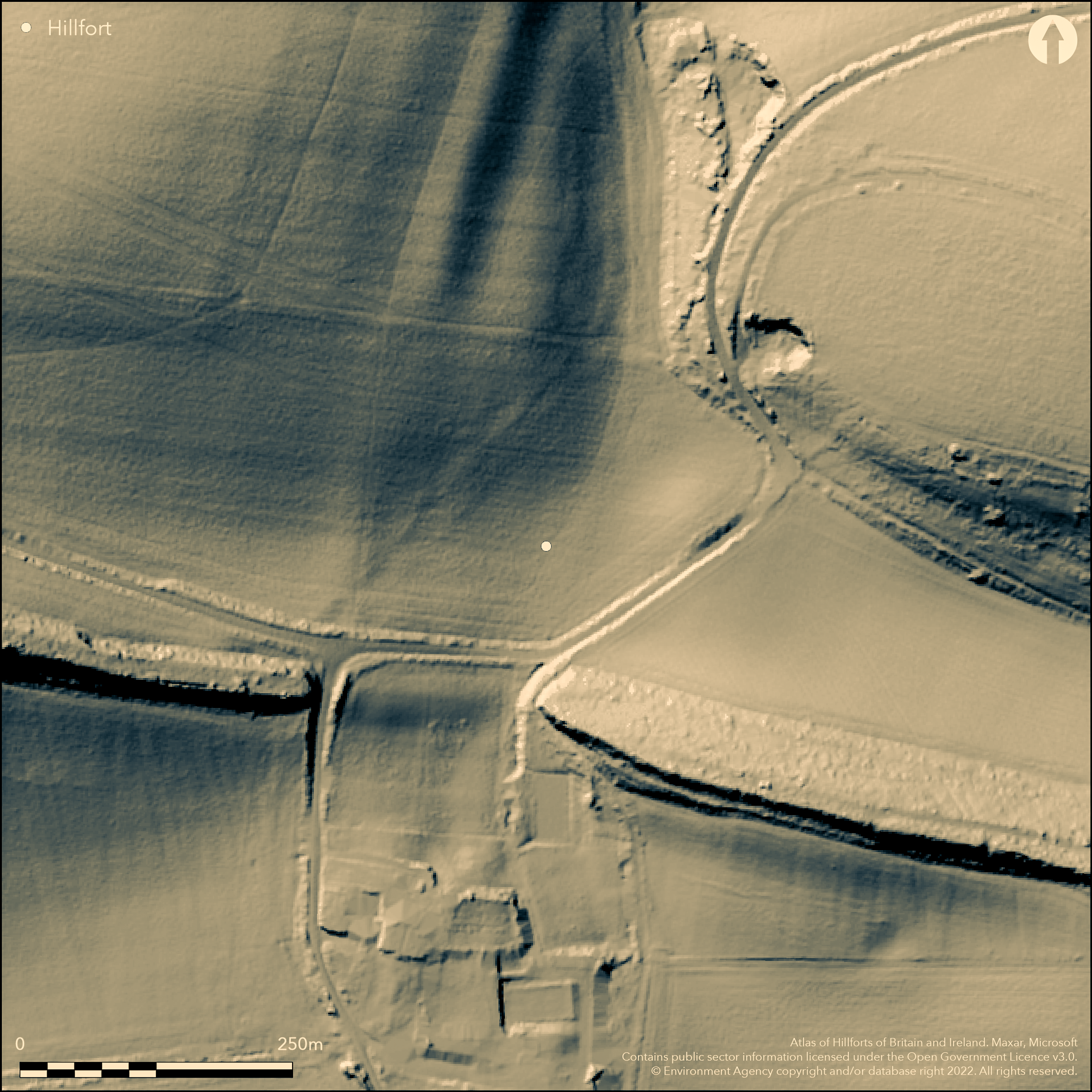
LiDAR 1m DTM Hillshade
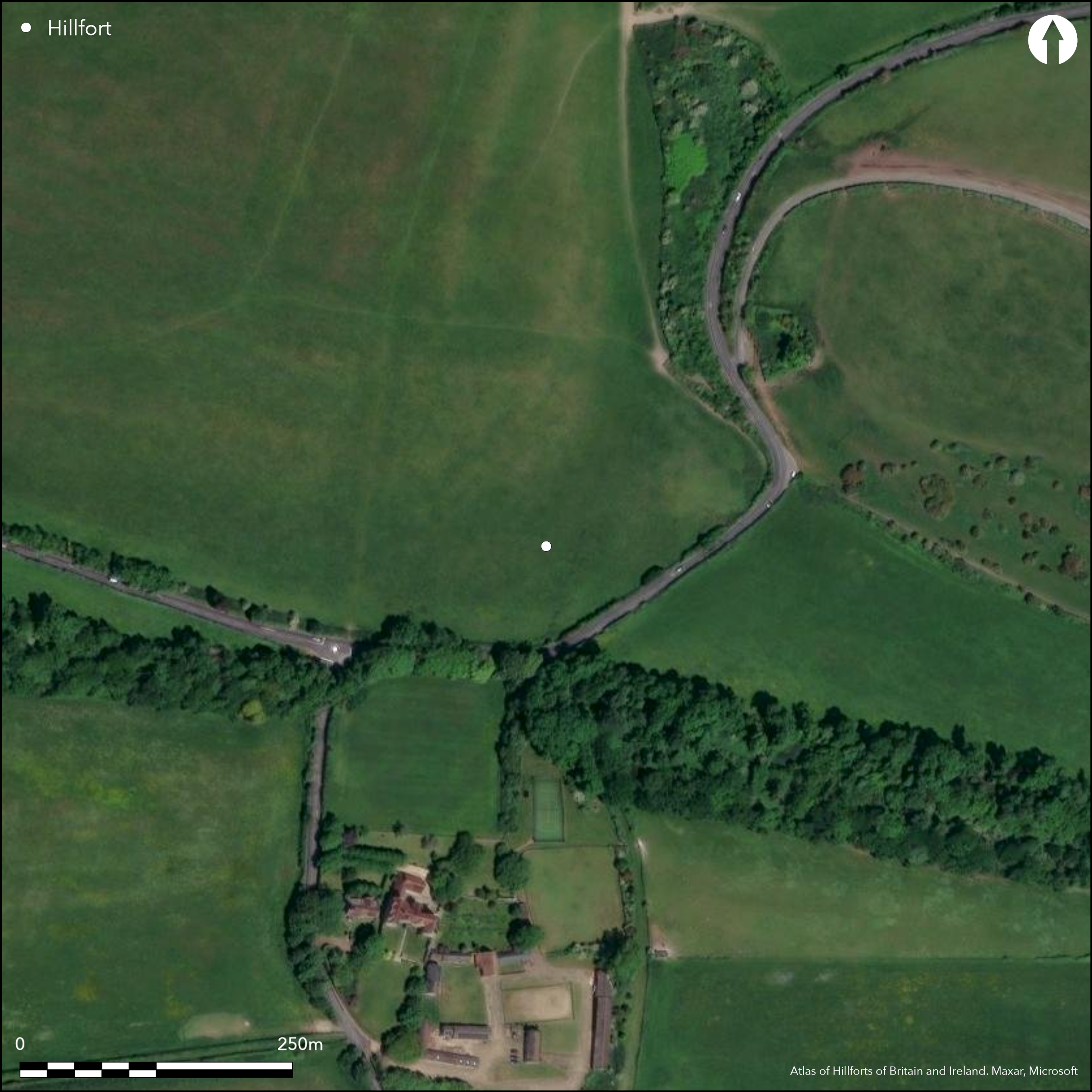
Satellite Imagery
LiDAR 1m DTM Hillshade
Satellite Imagery
Scroll left/right to view further images.
HER: Isle of Wight MIW4868 (None)
NMR: None (None)
SM: None
NGR: SZ61508616
X: 461500 Y: 86160 (OSGB36)
Possible hillslope enclosure or hillfort located on SE side of hill overlooking River Yar to N, flowing into Bembridge Harbour to NE, on E of island and E of Brading. Limited geophysics and trial trench by Time Team in 2001 found in Trench 5 evidence of two ditches located near 17m contour, roughly aligned N-S along the contour. Earliest may relate to a rampart upslope, now thought ploughed-out. Ditch to 2.3m deep. From top of rampart to bottom of ditch conjecture 5.7m. Pottery and metal waste in rubble deposit possible mid Iron Age. Also evidence of shallower U-shaped ditch downslope to 5.1m wide and 1m deep, with early 1st century sherds found. Further Trench 10 found possible ring ditch and part of Bronze Age barrow. It cannot be said, from the evidence so far, that the ditches found in Trench 5 enclosed the hill; it has been estimated by Wrench (2012, 18) that, if so, the area covered following the 17m contour would have been c. 12.5ha. In prehistory this plausible site would have overlooked the tidal Brading Haven, extending from, the now, Bembridge Harbour to Brading, an area now drained, but, before this, known as the 'Isle of Bembridge', cut off from the mainland island proper by high tides. Site permanent pasture.
Citizen Science: ✗
Reliability of Data: Unconfirmed
Reliability of Interpretation: Unconfirmed
X: -125909 Y: 6563442 (EPSG: 3857)
Longitude: -1.1310627079117903 Latitude: 50.67179679017649 (EPSG:4326)
Country: England
Current County or Unitary Authority: Isle of Wight
Historic County: Hampshire and Isle of Wight
Current Parish/Community/Council/Townland: Bembridge
Ditches of possible enclosure only. Does not show on aerial photographs.
| Extant | ✓ |
| Cropmark | ✗ |
| Likely Destroyed | ✗ |
Pasture site.
| Woodland | ✗ |
| Commercial Forestry Plantation | ✗ |
| Parkland | ✗ |
| Pasture (Grazing) | ✓ |
| Arable | ✗ |
| Scrub/Bracken | ✗ |
| Bare Outcrop | ✗ |
| Heather/Moorland | ✗ |
| Heath | ✗ |
| Built-up | ✗ |
| Coastal Grassland | ✗ |
| Other | ✗ |
Possible hillslope enclosure or hillfort located on SE side of hill overlooking River Yar to N, flowing into Bembridge Harbour to NE, on E of island and E of Brading.
| Contour Fort | ✗ |
| Partial Contour Fort | ✗ |
| Promontory Fort | ✗ |
| Hillslope Fort | ✓ |
| Level Terrain Fort | ✗ |
| Marsh Fort | ✗ |
| Multiple Enclosure Fort | ✗ |
| Hilltop | ✗ |
| Coastal Promontory | ✗ |
| Inland Promontory | ✗ |
| Valley Bottom | ✗ |
| Knoll/Hillock/Outcrop | ✗ |
| Ridge | ✗ |
| Cliff/Plateau-edge/Scarp | ✗ |
| Hillslope | ✓ |
| Lowland | ✗ |
| Spur | ✗ |
Dominant Topographic Feature: Hillslope
| North | ✗ |
| Northeast | ✗ |
| East | ✗ |
| Southeast | ✓ |
| South | ✗ |
| Southwest | ✗ |
| West | ✗ |
| Northwest | ✗ |
| Level | ✗ |
Altitude: 17.0m
N/A
Middle Iron Age pottery and metal waste found in rubble deposit in ditch. Early 1st century sherds in separate ditch.
Reliability: C - Low
| Pre 1200BC | ✗ |
| 1200BC - 800BC | ✗ |
| 800BC - 400BC | ✓ |
| 400BC - AD50 | ✓ |
| AD50 - AD400 | ✓ |
| AD400 - AD 800 | ✗ |
| Post AD800 | ✗ |
| Unknown | ✗ |
| Pre Hillfort: | None |
| Post Hillfort: | None |
| Artefactual: | Middle Iron Age pottery and metal waste found in rubble deposit in ditch. Early 1st century sherds in separate ditch. |
Time Team investigation 2001.
| Geophysical Survey (2001): | Time Team investigation. |
| Excavation (2001): | Time Team investigation. |
Ditches found by geophysics and trial trench, but no interior features. Middle Iron Age pottery and metal waste found in rubble deposit in ditch. Early 1st century sherds in separate ditch.
None
| None | ✓ |
| Spring | ✗ |
| Stream | ✗ |
| Pool | ✗ |
| Flush | ✗ |
| Well | ✗ |
| Other | ✗ |
None
| No Known Features | ✓ |
| Round Stone Structures | ✗ |
| Rectangular Stone Structures | ✗ |
| Curvilinear Platforms | ✗ |
| Other Roundhouse Evidence | ✗ |
| Pits | ✗ |
| Quarry Hollows | ✗ |
| Other | ✗ |
Ditches found by geophysics and trial trench, but no interior features.
| No Known Excavation | ✗ |
| Pits | ✗ |
| Postholes | ✗ |
| Roundhouses | ✗ |
| Rectangular Structures | ✗ |
| Roads/Tracks | ✗ |
| Quarry Hollows | ✗ |
| Other | ✗ |
| Nothing Found | ✓ |
Ditches found by geophysics and trial trench, but no interior features.
| No Known Geophysics | ✗ |
| Pits | ✗ |
| Roundhouses | ✗ |
| Rectangular Structures | ✗ |
| Roads/Tracks | ✗ |
| Quarry Hollows | ✗ |
| Other | ✗ |
| Nothing Found | ✓ |
Middle Iron Age pottery and metal waste found in rubble deposit in ditch. Early 1st century sherds in separate ditch.
| No Known Finds | ✗ |
| Pottery | ✓ |
| Metal | ✓ |
| Metalworking | ✗ |
| Human Bones | ✗ |
| Animal Bones | ✗ |
| Lithics | ✗ |
| Environmental | ✗ |
| Other | ✗ |
None
| APs Not Checked | ✓ |
| None | ✗ |
| Roundhouses | ✗ |
| Rectangular Structures | ✗ |
| Pits | ✗ |
| Postholes | ✗ |
| Roads/Tracks | ✗ |
| Other | ✗ |
None defined.
| 0: | None |
| 2: | None |
Guard Chambers: ✗
Chevaux de Frise: ✗
No actual evidence of rampart. Ditches found by geophysics and trial trench,
| Area 1: | Noneha. |
| Total: | Noneha. |
Total Footprint Area: Noneha.
None
| ✗ | Area not defined. |
| ✗ | No evidence that ditch/any rampart enclosed site. |
| NE Quadrant: | None |
| SE Quadrant: | None |
| SW Quadrant: | None |
| NW Quadrant: | None |
| Total: | None |
| Partial Univallate | ✗ |
| Univallate | ✗ |
| Partial Bivallate | ✗ |
| Bivallate | ✗ |
| Partial Multivallate | ✗ |
| Multivallate | ✗ |
| Unknown | ✓ |
| Partial Univallate | ✗ |
| Univallate | ✗ |
| Partial Bivallate | ✗ |
| Bivallate | ✗ |
| Partial Multivallate | ✗ |
| Multivallate | ✗ |
None
| None | ✓ |
| Earthen Bank | ✗ |
| Stone Wall | ✗ |
| Rubble | ✗ |
| Wall-walk | ✗ |
| Evidence of Timber | ✗ |
| Vitrification | ✗ |
| Other Burning | ✗ |
| Palisade | ✗ |
| Counter Scarp Bank | ✗ |
| Berm | ✗ |
| Unfinished | ✗ |
| Other | ✗ |
No actual evidence of rampart. Ditches found by geophysics and trial trench,
| None | ✓ |
| Earthen Bank | ✗ |
| Stone Wall | ✗ |
| Murus Duplex | ✗ |
| Timber-framed | ✗ |
| Timber-laced | ✗ |
| Vitrification | ✗ |
| Other Burning | ✗ |
| Palisade | ✗ |
| Counter Scarp Bank | ✗ |
| Berm | ✗ |
| Unfinished | ✗ |
| No Known Excavation | ✗ |
| Other | ✗ |
| ✗ | None |
| ✓ | Ditches found by geophysics and trial trench, |
Number of Ditches: 1
| ✗ | None |
Time Team investigation report 2001 (Isle of Wight HER officer refers).
Wrench, C.L. 2012. Evidence of hillforts on the Isle of Wight, Unpublished paper, University of Oxford.
Atlas of Hillforts:
Wikidata:
This work is licensed under CC BY-SA 4.0

 and should be cited as:
Lock, Gary and Ralston, Ian. 2024. Atlas of Hillforts of Britain and Ireland. Available at: https://hillforts.arch.ox.ac.uk
Document Version 1.1