Satellite Imagery
Satellite Imagery
HER: Archaeological Survey of Ireland SMR Database KE009-077 (None)
NMR: KE 009 (None)
SM: None
NGR: None
X: 481447 Y: 636442 (IRENET95)
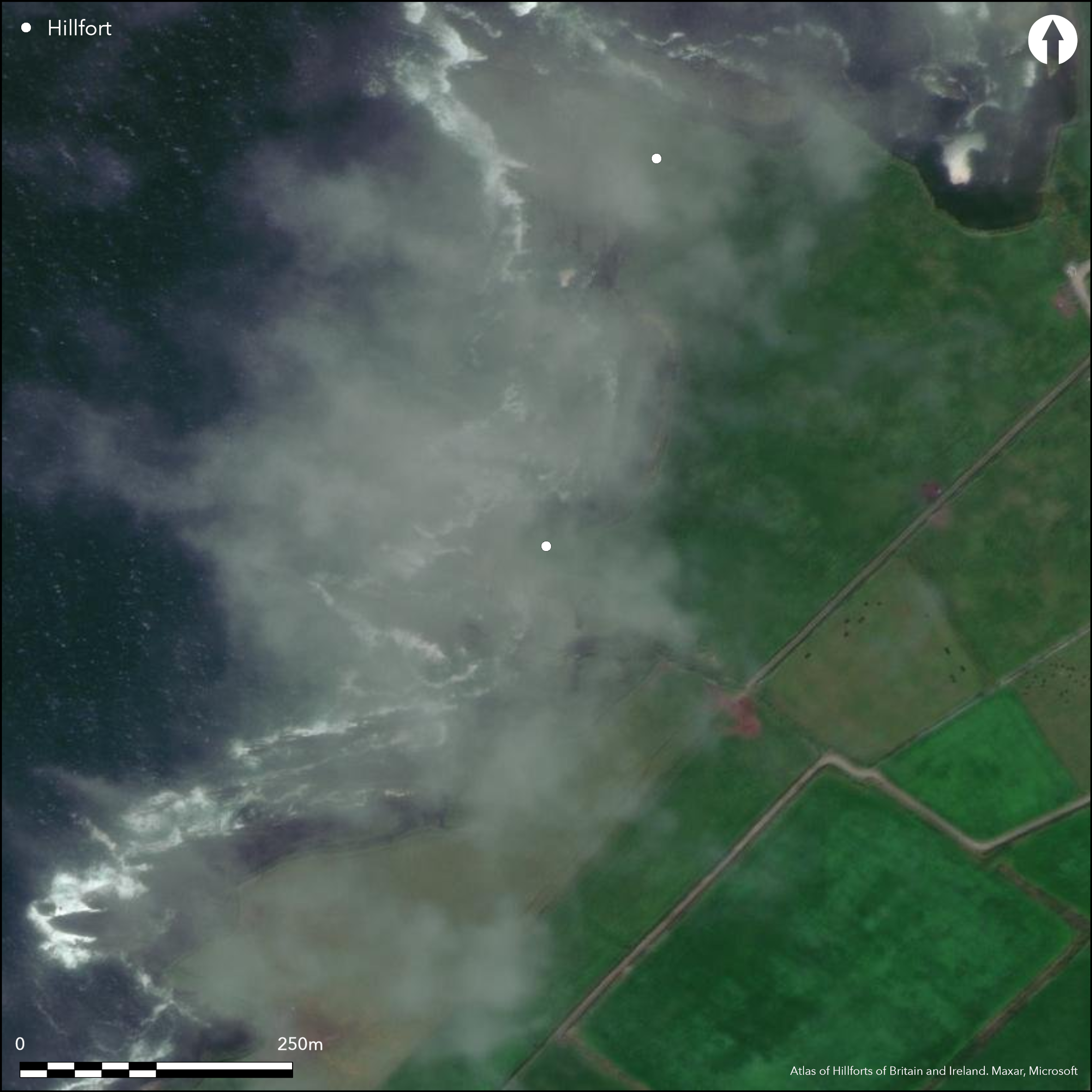
This promontory fort, known locally as 'Dooneen' is situated c. 6km SW of Ballybunion, Co. Kerry projecting W from the mainland at an altitude of 6m OD. It has extensive views of the dark cliffs of Pierce's Island. While it is not depicted on any edition of the OS six-inch maps, Westropp (1912, 315-16) records it as a promontory fort S of Brown's Castle (Atlas No.1273). The headland has suffered badly from coastal erosion, but was apparently once enclosed by a bank and ditch drawn across the neck in an arc on the E. The bank was constructed of stone and measured c. 3m wide and 0.8m high, and the ditch was about 0.8m deep (Westropp 1912, 315; Toal 1995). A causeway, 1m in width, traversed the ditch and rampart. Westropp recorded the enclosing elements as very much levelled in 1909, and today no surface trace of these features survive (Toal 1995).
Citizen Science: ✗
Reliability of Data: Confirmed
Reliability of Interpretation: Confirmed
X: -1084785 Y: 6884924 (EPSG: 3857)
Longitude: -9.744790060300462 Latitude: 52.46653310618372 (EPSG:4326)
Country: Republic of Ireland
Current County or Unitary Authority: Kerry
Historic County: Kerry
Current Parish/Community/Council/Townland: Clashmeclon
There is no surface trace of defences today.
| Extant | ✗ |
| Cropmark | ✗ |
| Likely Destroyed | ✓ |
None
| Woodland | ✗ |
| Commercial Forestry Plantation | ✗ |
| Parkland | ✗ |
| Pasture (Grazing) | ✓ |
| Arable | ✗ |
| Scrub/Bracken | ✗ |
| Bare Outcrop | ✗ |
| Heather/Moorland | ✗ |
| Heath | ✗ |
| Built-up | ✗ |
| Coastal Grassland | ✗ |
| Other | ✗ |
This coastal promontory, known locally as 'Dooneen', is situated c. 6km SW of Ballybunion, Co. Kerry, projecting W from the mainland with extensive views of the dark cliffs of Pierce's Island at an altitude of 6m OD. The headland was possibly once defended to the E by a crescent-shaped bank and shallow, external ditch.
| Contour Fort | ✗ |
| Partial Contour Fort | ✗ |
| Promontory Fort | ✓ |
| Hillslope Fort | ✗ |
| Level Terrain Fort | ✗ |
| Marsh Fort | ✗ |
| Multiple Enclosure Fort | ✗ |
| Hilltop | ✗ |
| Coastal Promontory | ✓ |
| Inland Promontory | ✗ |
| Valley Bottom | ✗ |
| Knoll/Hillock/Outcrop | ✗ |
| Ridge | ✗ |
| Cliff/Plateau-edge/Scarp | ✗ |
| Hillslope | ✗ |
| Lowland | ✗ |
| Spur | ✗ |
Dominant Topographic Feature: W-facing promontory
| North | ✗ |
| Northeast | ✗ |
| East | ✗ |
| Southeast | ✗ |
| South | ✗ |
| Southwest | ✗ |
| West | ✓ |
| Northwest | ✗ |
| Level | ✗ |
Altitude: 6.0m
N/A
There is no dating available for the site
Reliability: D - None
| Pre 1200BC | ✗ |
| 1200BC - 800BC | ✗ |
| 800BC - 400BC | ✗ |
| 400BC - AD50 | ✗ |
| AD50 - AD400 | ✗ |
| AD400 - AD 800 | ✗ |
| Post AD800 | ✗ |
| Unknown | ✓ |
| Pre Hillfort: | None |
| Post Hillfort: | None |
The site is not depicted on any edition of the six-inch OS maps. Visited and surveyed by Westropp in the early twentieth century who recorded the defences and significant erosion. Visited by the North Dingle Survey in the mid 1990s (Toal 1995).
| 1st Identified Written Reference (1912): | Westropp |
| Earthwork Survey (1995): | North Dingle Survey |
There are no recorded internal features.
A waterfall is marked on the second edition OS six-inch map immediately to the S of the promontory.
| None | ✓ |
| Spring | ✗ |
| Stream | ✗ |
| Pool | ✗ |
| Flush | ✗ |
| Well | ✗ |
| Other | ✗ |
None
| No Known Features | ✓ |
| Round Stone Structures | ✗ |
| Rectangular Stone Structures | ✗ |
| Curvilinear Platforms | ✗ |
| Other Roundhouse Evidence | ✗ |
| Pits | ✗ |
| Quarry Hollows | ✗ |
| Other | ✗ |
None
| No Known Excavation | ✓ |
| Pits | ✗ |
| Postholes | ✗ |
| Roundhouses | ✗ |
| Rectangular Structures | ✗ |
| Roads/Tracks | ✗ |
| Quarry Hollows | ✗ |
| Other | ✗ |
| Nothing Found | ✗ |
None
| No Known Geophysics | ✓ |
| Pits | ✗ |
| Roundhouses | ✗ |
| Rectangular Structures | ✗ |
| Roads/Tracks | ✗ |
| Quarry Hollows | ✗ |
| Other | ✗ |
| Nothing Found | ✗ |
None
| No Known Finds | ✓ |
| Pottery | ✗ |
| Metal | ✗ |
| Metalworking | ✗ |
| Human Bones | ✗ |
| Animal Bones | ✗ |
| Lithics | ✗ |
| Environmental | ✗ |
| Other | ✗ |
NO APPARENT FEATURES
| APs Not Checked | ✓ |
| None | ✗ |
| Roundhouses | ✗ |
| Rectangular Structures | ✗ |
| Pits | ✗ |
| Postholes | ✗ |
| Roads/Tracks | ✗ |
| Other | ✗ |
A causeway, 1m in width, traversed the ditch on the E.
| 1: | None |
| 2: | None |
Guard Chambers: ✗
Chevaux de Frise: ✗
| 1. Simple Gap (East): | None |
The headland has suffered badly from coastal erosion but was once defended on the E by a bank of stone, measuring c. 3m wide and 0.8m high, with a shallow external ditch up to 0.8m deep
| Area 1: | 0.14ha. |
| Total: | 0.14ha. |
Total Footprint Area: 0.16ha.
None
| ✗ | As the defences are no longer apparent the enclosed area and overall site footprint has been estimated based on an earlier drawing by Westropp. |
| ✗ | None |
| NE Quadrant: | 1 |
| SE Quadrant: | 1 |
| SW Quadrant: | 0 |
| NW Quadrant: | 0 |
| Total: | 1 |
| Partial Univallate | ✓ |
| Univallate | ✗ |
| Partial Bivallate | ✗ |
| Bivallate | ✗ |
| Partial Multivallate | ✗ |
| Multivallate | ✗ |
| Unknown | ✗ |
| Partial Univallate | ✗ |
| Univallate | ✗ |
| Partial Bivallate | ✗ |
| Bivallate | ✗ |
| Partial Multivallate | ✗ |
| Multivallate | ✗ |
No longer apparent
| None | ✗ |
| Earthen Bank | ✗ |
| Stone Wall | ✗ |
| Rubble | ✓ |
| Wall-walk | ✗ |
| Evidence of Timber | ✗ |
| Vitrification | ✗ |
| Other Burning | ✗ |
| Palisade | ✗ |
| Counter Scarp Bank | ✗ |
| Berm | ✗ |
| Unfinished | ✗ |
| Other | ✗ |
None
| None | ✗ |
| Earthen Bank | ✗ |
| Stone Wall | ✗ |
| Murus Duplex | ✗ |
| Timber-framed | ✗ |
| Timber-laced | ✗ |
| Vitrification | ✗ |
| Other Burning | ✗ |
| Palisade | ✗ |
| Counter Scarp Bank | ✗ |
| Berm | ✗ |
| Unfinished | ✗ |
| No Known Excavation | ✓ |
| Other | ✗ |
| ✗ | None |
| ✓ | No longer apparent |
Number of Ditches: 1
| ✗ | None |
Toal, C. 1995. North Kerry Archaeological Survey. Dingle
Westropp, T. J. 1912. Notes on the promontory forts and similar structures of County Kerry. Part V- Iveragh (Valentia to St. Finans Bay). Proceedings of the Royal Society of Antiquaries of Ireland 47, 305
Atlas of Hillforts:
Wikidata:
This work is licensed under CC BY-SA 4.0

 and should be cited as:
Lock, Gary and Ralston, Ian. 2024. Atlas of Hillforts of Britain and Ireland. Available at: https://hillforts.arch.ox.ac.uk
Document Version 1.1