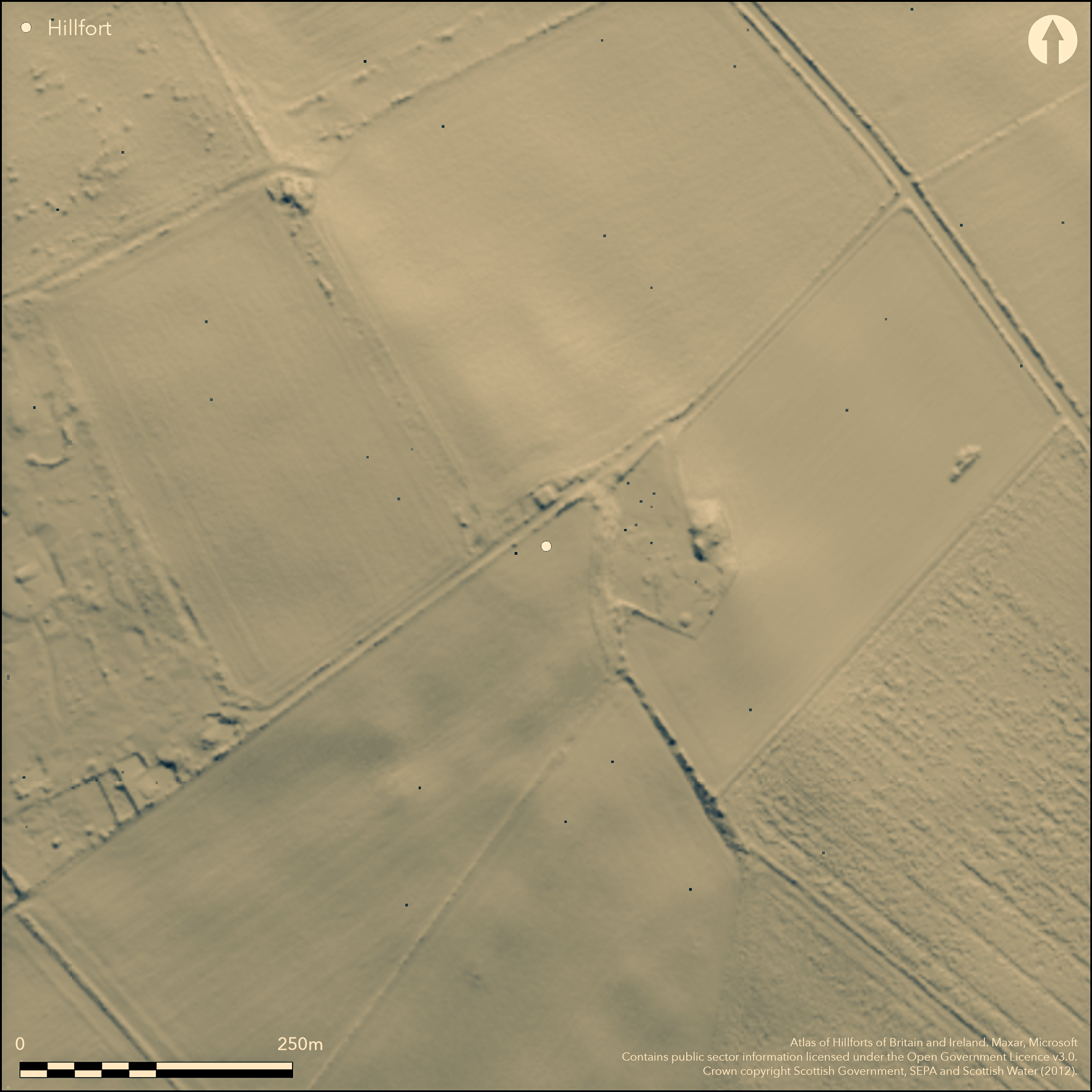
LiDAR 1m DTM Hillshade
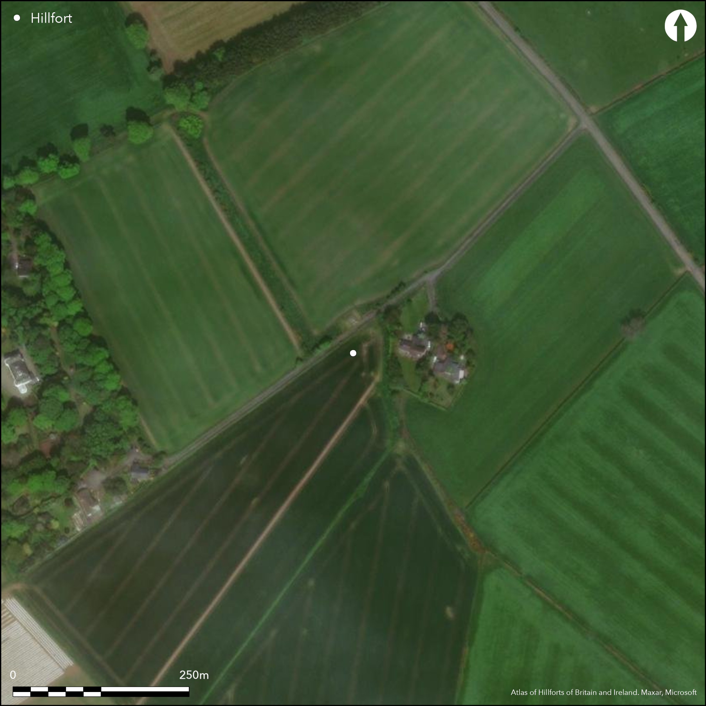
Satellite Imagery
LiDAR 1m DTM Hillshade
Satellite Imagery
Scroll left/right to view further images.
HER: Dumfries & Galloway MDG6179 (None)
NMR: NX 97 SE 6 (65725)
SM: None
NGR: NX 9963 7269
X: 299630 Y: 572690 (OSGB36)
This fort occupies the summit of Camp Hill but it has been severely reduced by ploughing, the construction of an access road and a small reservoir. In its original form it comprised two ramparts with external ditches, which enclosed a roughly circular area measuring 60m from N to S by 57m transversely (0.26ha). Excavations in 1960-62, prior to the deliberate reduction of the ramparts, revealed that at least the inner was stone-faced externally, while the inner and outer ditches measured 4.5m and 3.9m in breadth respectively by up to 2.7m in depth. The position of the entrance is unknown. In the interior, there were two palisade trenches set concentrically about 2.5m within to the line of the rampart, and within the area these enclosed there were numerous post-holes and several gullies probably representing several periods of occupation. In its final use the interior was used as a burial-ground, probably in the early medieval period.
Citizen Science: ✗
Reliability of Data: Confirmed
Reliability of Interpretation: Confirmed
X: -397649 Y: 7369357 (EPSG: 3857)
Longitude: -3.5721440653951357 Latitude: 55.03858044604455 (EPSG:4326)
Country: Scotland
Current County or Unitary Authority: Dumfries & Galloway
Historic County: Dumfriesshire
Current Parish/Community/Council/Townland: Dumfries
Progressively being reduced by ploughing since the mid 19th century
| Extant | ✓ |
| Cropmark | ✗ |
| Likely Destroyed | ✓ |
None
| Woodland | ✗ |
| Commercial Forestry Plantation | ✗ |
| Parkland | ✗ |
| Pasture (Grazing) | ✓ |
| Arable | ✓ |
| Scrub/Bracken | ✓ |
| Bare Outcrop | ✗ |
| Heather/Moorland | ✗ |
| Heath | ✗ |
| Built-up | ✗ |
| Coastal Grassland | ✗ |
| Other | ✗ |
None
| Contour Fort | ✓ |
| Partial Contour Fort | ✗ |
| Promontory Fort | ✗ |
| Hillslope Fort | ✗ |
| Level Terrain Fort | ✗ |
| Marsh Fort | ✗ |
| Multiple Enclosure Fort | ✗ |
| Hilltop | ✓ |
| Coastal Promontory | ✗ |
| Inland Promontory | ✗ |
| Valley Bottom | ✗ |
| Knoll/Hillock/Outcrop | ✗ |
| Ridge | ✗ |
| Cliff/Plateau-edge/Scarp | ✗ |
| Hillslope | ✗ |
| Lowland | ✗ |
| Spur | ✗ |
Dominant Topographic Feature: None
| North | ✗ |
| Northeast | ✗ |
| East | ✗ |
| Southeast | ✗ |
| South | ✗ |
| Southwest | ✗ |
| West | ✗ |
| Northwest | ✗ |
| Level | ✓ |
Altitude: 90.0m
N/A
Overlying cemetery is assumed to be early Christian in date, but otherwise the defences are undated
Reliability: C - Low
| Pre 1200BC | ✗ |
| 1200BC - 800BC | ✗ |
| 800BC - 400BC | ✗ |
| 400BC - AD50 | ✗ |
| AD50 - AD400 | ✗ |
| AD400 - AD 800 | ✓ |
| Post AD800 | ✗ |
| Unknown | ✓ |
| Pre Hillfort: | A U sprofile gully was found beneath the crest of the bank in one section. Palisades and some of the traces of occupation are assumed to be earlier, though there is no stratigraphic proof of this relationship |
| Post Hillfort: | Early Christian cemetery |
First depicted in 1856 on the 1st edition OS 25-inch map (Dumfriesshire 1861, sheet 55.12), it had already been ploughed down on the N by 1899 (Dumfriesshire 1900, sheet 55.12), and is described by Alexander Curle for the County Inventory of Dumfriesshire in 1913 (RCAHMS 1920, 51, no.130). Excavations were carried out by Derek Simpson and Gen James Scott-Elliot in 1960-2. It was photographed from the air by CUCAP in 1961
| 1st Identified Map Depiction (1856): | Annotated Camp in Roman type on the 1st edition OS 25-inch map (Dumfriesshire 1861, sheet 55.12) |
| Other (1899): | Annotated Fort on the 2nd edition OS 25-inch map(Dumfriesshire 1900, sheet 55.12) |
| Other (1913): | Description (RCAHMS 1920, 51, no.130) |
| Excavation (1960): | (Simpson and Scott-Elliot 1964) |
| Excavation (1962): | (Simpson and Scott-Elliot 1964) |
| Excavation (1963): | (Simpson and Scott-Elliot 1964) |
| Other (1964): | Revised at 1:2500 by the OS |
Apart from the cemetery, numerous post-holes and gullies were found by excavation
None
| None | ✓ |
| Spring | ✗ |
| Stream | ✗ |
| Pool | ✗ |
| Flush | ✗ |
| Well | ✗ |
| Other | ✗ |
None
| No Known Features | ✓ |
| Round Stone Structures | ✗ |
| Rectangular Stone Structures | ✗ |
| Curvilinear Platforms | ✗ |
| Other Roundhouse Evidence | ✗ |
| Pits | ✗ |
| Quarry Hollows | ✗ |
| Other | ✗ |
Probably include round houses but no coherent structures emerged from the plan.
| No Known Excavation | ✗ |
| Pits | ✓ |
| Postholes | ✓ |
| Roundhouses | ✓ |
| Rectangular Structures | ✗ |
| Roads/Tracks | ✗ |
| Quarry Hollows | ✗ |
| Other | ✗ |
| Nothing Found | ✗ |
None
| No Known Geophysics | ✓ |
| Pits | ✗ |
| Roundhouses | ✗ |
| Rectangular Structures | ✗ |
| Roads/Tracks | ✗ |
| Quarry Hollows | ✗ |
| Other | ✗ |
| Nothing Found | ✗ |
Beehive rotary quern and two stone rubbers
| No Known Finds | ✗ |
| Pottery | ✗ |
| Metal | ✗ |
| Metalworking | ✗ |
| Human Bones | ✗ |
| Animal Bones | ✗ |
| Lithics | ✓ |
| Environmental | ✗ |
| Other | ✓ |
None
| APs Not Checked | ✗ |
| None | ✓ |
| Roundhouses | ✗ |
| Rectangular Structures | ✗ |
| Pits | ✗ |
| Postholes | ✗ |
| Roads/Tracks | ✗ |
| Other | ✗ |
None known
| 0: | Whole circuit is heavily reduced |
| 2: | Unknown |
Guard Chambers: ✗
Chevaux de Frise: ✗
Twin ramparts with external ditches
| Area 1: | 0.26ha. |
| Total: | 0.26ha. |
Total Footprint Area: 0.6ha.
None
| ✗ | None |
| ✓ | None |
| NE Quadrant: | 2 |
| SE Quadrant: | 2 |
| SW Quadrant: | 2 |
| NW Quadrant: | 2 |
| Total: | 2 |
| Partial Univallate | ✗ |
| Univallate | ✗ |
| Partial Bivallate | ✗ |
| Bivallate | ✓ |
| Partial Multivallate | ✗ |
| Multivallate | ✗ |
| Unknown | ✗ |
| Partial Univallate | ✗ |
| Univallate | ✗ |
| Partial Bivallate | ✗ |
| Bivallate | ✗ |
| Partial Multivallate | ✗ |
| Multivallate | ✗ |
None
| None | ✗ |
| Earthen Bank | ✓ |
| Stone Wall | ✗ |
| Rubble | ✗ |
| Wall-walk | ✗ |
| Evidence of Timber | ✗ |
| Vitrification | ✗ |
| Other Burning | ✗ |
| Palisade | ✗ |
| Counter Scarp Bank | ✗ |
| Berm | ✗ |
| Unfinished | ✗ |
| Other | ✗ |
Ditches
| None | ✗ |
| Earthen Bank | ✗ |
| Stone Wall | ✓ |
| Murus Duplex | ✗ |
| Timber-framed | ✗ |
| Timber-laced | ✗ |
| Vitrification | ✗ |
| Other Burning | ✗ |
| Palisade | ✓ |
| Counter Scarp Bank | ✗ |
| Berm | ✗ |
| Unfinished | ✗ |
| No Known Excavation | ✗ |
| Other | ✓ |
| ✗ | None |
| ✓ | None |
Number of Ditches: 2
| ✗ | None |
RCAHMS (1920) The Royal Commission on the Ancient and Historical Monuments and Constructions of Scotland. Seventh report with inventory of monuments and constructions in the county of Dumfries, Edinburgh
Simpson and Scott-Elliot, D D A and J (1964) 'Excavations at Camp Hill, Trohoughton, Dumfries', Trans Dumfriesshire Galloway Natur Hist Antiq Soc, 3 Ser, 41, 125-34.
Atlas of Hillforts:
Wikidata:
This work is licensed under CC BY-SA 4.0

 and should be cited as:
Lock, Gary and Ralston, Ian. 2024. Atlas of Hillforts of Britain and Ireland. Available at: https://hillforts.arch.ox.ac.uk
Document Version 1.1