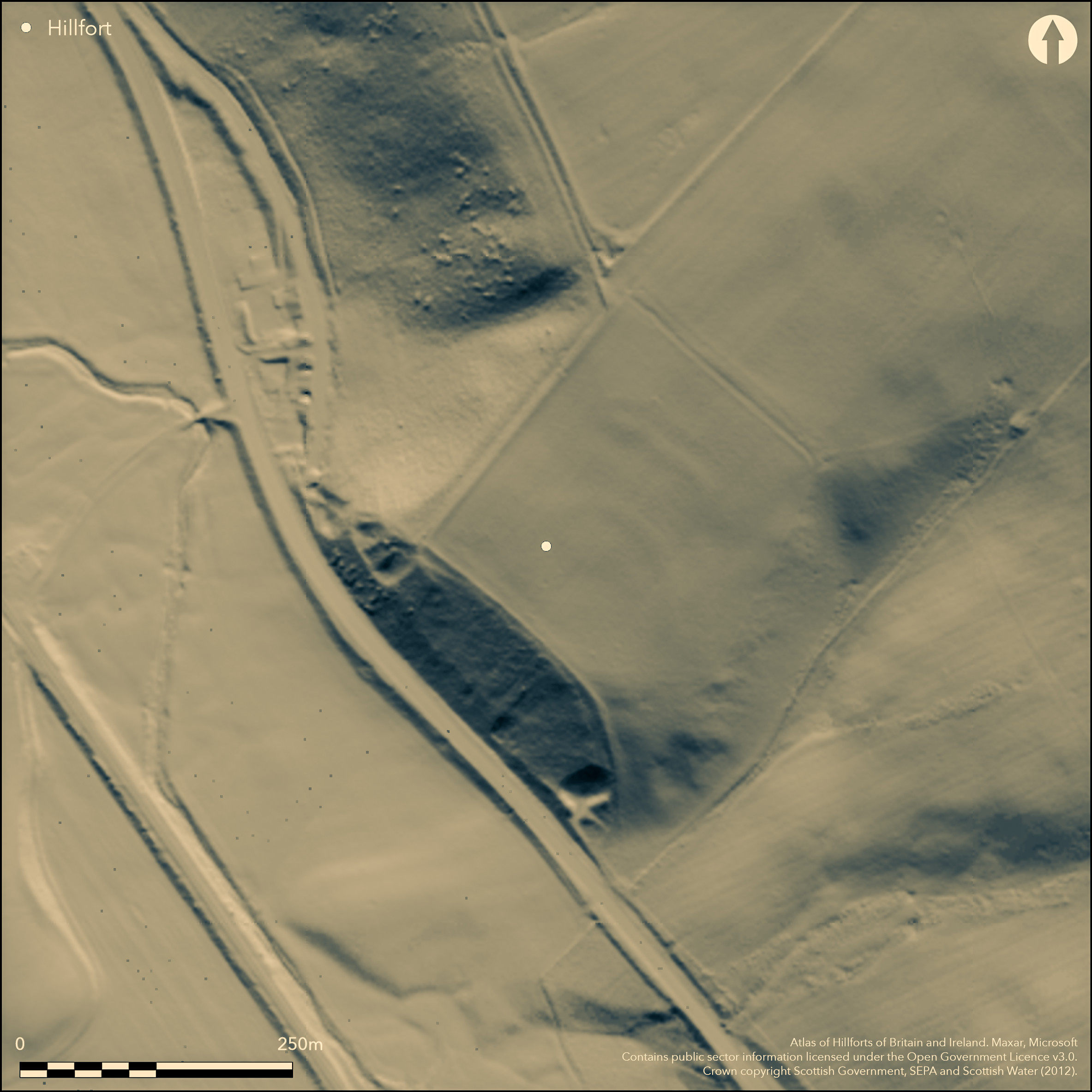
LiDAR 1m DTM Hillshade
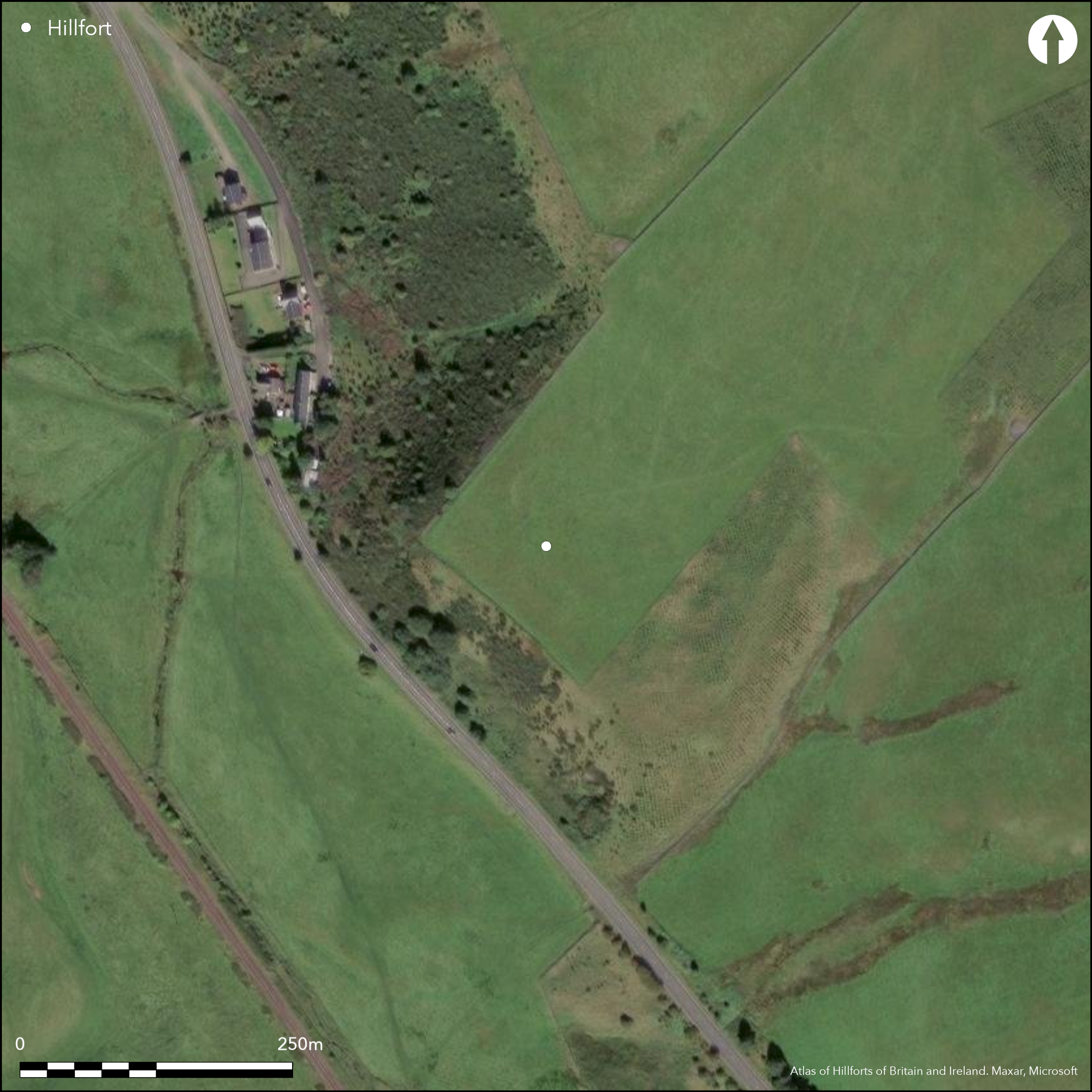
Satellite Imagery
LiDAR 1m DTM Hillshade
Satellite Imagery
Scroll left/right to view further images.
HER: Scottish Borders 54638 (None)
NMR: NT 45 SW 17 (54638)
SM: None
NGR: NT 4132 5325
X: 341320 Y: 653250 (OSGB36)
Aerial photography has revealed the site of a remarkable fortification on the relatively steep slope dropping down SW from the crest of Crookston Mains Hill above the houses at Stagebank. Its defences comprise three elements, namely an inner enclosure at the bottom of the slope, immediately above the escarpment that falls steeply to the A7 public road above the haughland of the Gala Water, an outwork set on the slope above, and an irregular outer enclosure apparently enveloping both the inner enclosure and the outwork into a single scheme. While this might appear to be the case, there can be little doubt that the overall disposition of the defences revealed by cropmarks represents an evolved sequence, and the outer enclosure certainly intersects the ditch of the inner on the NW. The inner enclosure is roughly D-shaped on plan, backing onto the lip of the escarpment on the SW, where no trace of the perimeter is visible on the aerial photographs, and measures about 110m from NW to SE along this chord by 75m transversely (0.65ha) within a ditch some 4m in breadth. Traces of a palisade trench lie about 6m outside the ditch on the NE, and possibly converge on its line to either side of an entrance on the E. The line of the palisade on the NW is adopted by the outer enclosure, which appears to block a second entrance on the NNW. The outwork drawn in a shallow arc across the slope to the N, unless a segment of an unfinished fortification, presumably relates to this inner enclosure, comprising a ditch about 8m in breadth with a rampart on its downslope side, traces of which are probably still visible on the ground. It is pierced by an entrance towards the NW end, which is also matched in the line of the outer enclosure to create an oblique approach exposing the visitors right side; while the terminals of the outwork ditch are directly opposed, those of the outer enclosure are staggered so as to overlap slightly. This was evidently a major entrance in these phases, and more sophisticated than any of the other gaps in the outer enclosure. The ditch of the latter is probably no more than 3m in breadth, looping round the terminals of the outwork on the NW and SE respectively to drop straight down the slope towards the inner enclosure, before splaying out on the slope to either side to enclose an overall area of about 1.1ha. On the E the gap between the two ditches is about 14m, but they are much closer together on the NNW, converging westwards before the outer turns sharply across the line of the inner and cuts across the W side of its interior. While there are no gaps in the outer directly corresponding with the two entrances into the inner enclosure, in both cases there are narrow causeways crossing the outer a little further down the slope, and a similar gap occurs in the re-entrant formed immediately in the rear of the NW terminal of the outwork, and at least one other possibly example occurs on the NE; if these are truly entrances, they do not display the same sophistication as the one through the outwork.
Citizen Science: ✗
Reliability of Data: Confirmed
Reliability of Interpretation: Confirmed
X: -326930 Y: 7512577 (EPSG: 3857)
Longitude: -2.9368659636354897 Latitude: 55.76905323283564 (EPSG:4326)
Country: Scotland
Current County or Unitary Authority: Scottish Borders
Historic County: Midlothian
Current Parish/Community/Council/Townland: Heriot
None
| Extant | ✗ |
| Cropmark | ✓ |
| Likely Destroyed | ✗ |
None
| Woodland | ✗ |
| Commercial Forestry Plantation | ✗ |
| Parkland | ✗ |
| Pasture (Grazing) | ✓ |
| Arable | ✓ |
| Scrub/Bracken | ✗ |
| Bare Outcrop | ✗ |
| Heather/Moorland | ✗ |
| Heath | ✗ |
| Built-up | ✗ |
| Coastal Grassland | ✗ |
| Other | ✗ |
None
| Contour Fort | ✗ |
| Partial Contour Fort | ✗ |
| Promontory Fort | ✗ |
| Hillslope Fort | ✓ |
| Level Terrain Fort | ✗ |
| Marsh Fort | ✗ |
| Multiple Enclosure Fort | ✗ |
| Hilltop | ✗ |
| Coastal Promontory | ✗ |
| Inland Promontory | ✗ |
| Valley Bottom | ✗ |
| Knoll/Hillock/Outcrop | ✗ |
| Ridge | ✗ |
| Cliff/Plateau-edge/Scarp | ✗ |
| Hillslope | ✓ |
| Lowland | ✗ |
| Spur | ✗ |
Dominant Topographic Feature: None
| North | ✗ |
| Northeast | ✗ |
| East | ✗ |
| Southeast | ✗ |
| South | ✗ |
| Southwest | ✓ |
| West | ✗ |
| Northwest | ✗ |
| Level | ✗ |
Altitude: 290.0m
N/A
In the absence of excavation, there are neither stratified artefacts nor radiocarbon dates to provide a chronology for the defences.
Reliability: D - None
| Pre 1200BC | ✗ |
| 1200BC - 800BC | ✗ |
| 800BC - 400BC | ✗ |
| 400BC - AD50 | ✗ |
| AD50 - AD400 | ✗ |
| AD400 - AD 800 | ✗ |
| Post AD800 | ✗ |
| Unknown | ✓ |
| Pre Hillfort: | None |
| Post Hillfort: | Ploughed down |
None
| 1st Identified Written Reference (1977): | First photographed by RCAHMS Aerial Survey Programme (Welfare 1978, 2) |
| Other (1995): | Re-photographed by RCAHMS Aerial Survey Programme |
Featureless apart from the external palisade of the inner enclosure
None
| None | ✓ |
| Spring | ✗ |
| Stream | ✗ |
| Pool | ✗ |
| Flush | ✗ |
| Well | ✗ |
| Other | ✗ |
None
| No Known Features | ✓ |
| Round Stone Structures | ✗ |
| Rectangular Stone Structures | ✗ |
| Curvilinear Platforms | ✗ |
| Other Roundhouse Evidence | ✗ |
| Pits | ✗ |
| Quarry Hollows | ✗ |
| Other | ✗ |
None
| No Known Excavation | ✓ |
| Pits | ✗ |
| Postholes | ✗ |
| Roundhouses | ✗ |
| Rectangular Structures | ✗ |
| Roads/Tracks | ✗ |
| Quarry Hollows | ✗ |
| Other | ✗ |
| Nothing Found | ✗ |
None
| No Known Geophysics | ✓ |
| Pits | ✗ |
| Roundhouses | ✗ |
| Rectangular Structures | ✗ |
| Roads/Tracks | ✗ |
| Quarry Hollows | ✗ |
| Other | ✗ |
| Nothing Found | ✗ |
None
| No Known Finds | ✓ |
| Pottery | ✗ |
| Metal | ✗ |
| Metalworking | ✗ |
| Human Bones | ✗ |
| Animal Bones | ✗ |
| Lithics | ✗ |
| Environmental | ✗ |
| Other | ✗ |
Palisade trench acompanying the inner enclosure
| APs Not Checked | ✗ |
| None | ✗ |
| Roundhouses | ✗ |
| Rectangular Structures | ✗ |
| Pits | ✗ |
| Postholes | ✗ |
| Roads/Tracks | ✗ |
| Other | ✓ |
See main summary
| 7: | The whole perimeter is effectively levelled |
| 2: | A series of gaps in the inner and outer enclosures, but without any evidence that they are contemporary |
Guard Chambers: ✗
Chevaux de Frise: ✗
| 1. Oblique (North): | A complex entrance through the outwork and the outer enclosure. Oblique approach exposing right side |
| 2. Simple Gap (North east): | Possible narrow causeway in the outer ditch |
| 3. Simple Gap (East): | Possible narrow causeway in the outer ditch |
| 4. Simple Gap (East): | Through the inner enclosure |
| 5. Simple Gap (North west): | Through the inner enclosure |
| 6. Simple Gap (North west): | Possible narrow causeway in the outer ditch |
| 7. Other Forms (North): | A narrow causeway in a shallow re-entrant |
Probably two phases of single-ditched enclosures, presumably with upcast ramparts, and the inner with an outwork on the uphill side, which subsequently forms part of a multivallate defence on this side protecting the outer enclosure
| Area 1: | 0.65ha. |
| Area 2: | 1.1ha. |
| Total: | 1.1ha. |
Total Footprint Area: Noneha.
None
| ✓ | The inner and outer enclosures intersect on the NW, and while it is not possible to identify the stratigraphic sequence through the cropmarks, the overall configuration suggests that outer enclosure, taking in the outwork to the inner enclosure, is probably the later |
| ✗ | None |
| NE Quadrant: | 3 |
| SE Quadrant: | 2 |
| SW Quadrant: | 0 |
| NW Quadrant: | 2 |
| Total: | 3 |
| Partial Univallate | ✗ |
| Univallate | ✗ |
| Partial Bivallate | ✓ |
| Bivallate | ✗ |
| Partial Multivallate | ✓ |
| Multivallate | ✗ |
| Unknown | ✗ |
| Partial Univallate | ✗ |
| Univallate | ✓ |
| Partial Bivallate | ✗ |
| Bivallate | ✗ |
| Partial Multivallate | ✗ |
| Multivallate | ✗ |
The rampart of the outwork may still be visible; palisade trench accompanying the inner enclosure is revealed only by the cropmarks. The outwork might possibly have been originally intended as a larger enclosure.
| None | ✗ |
| Earthen Bank | ✗ |
| Stone Wall | ✗ |
| Rubble | ✗ |
| Wall-walk | ✗ |
| Evidence of Timber | ✗ |
| Vitrification | ✗ |
| Other Burning | ✗ |
| Palisade | ✓ |
| Counter Scarp Bank | ✗ |
| Berm | ✗ |
| Unfinished | ✓ |
| Other | ✗ |
None
| None | ✗ |
| Earthen Bank | ✗ |
| Stone Wall | ✗ |
| Murus Duplex | ✗ |
| Timber-framed | ✗ |
| Timber-laced | ✗ |
| Vitrification | ✗ |
| Other Burning | ✗ |
| Palisade | ✗ |
| Counter Scarp Bank | ✗ |
| Berm | ✗ |
| Unfinished | ✗ |
| No Known Excavation | ✓ |
| Other | ✗ |
| ✗ | None |
| ✓ | None |
Number of Ditches: 3
| ✗ | None |
Welfare, H (1978) 'Jigsaw puzzle and dustbin: air photography and the Iron Age in southern Scotland'. Scot Archaeol Forum 10 (1978), 1-11
Atlas of Hillforts:
Wikidata:
This work is licensed under CC BY-SA 4.0

 and should be cited as:
Lock, Gary and Ralston, Ian. 2024. Atlas of Hillforts of Britain and Ireland. Available at: https://hillforts.arch.ox.ac.uk
Document Version 1.1