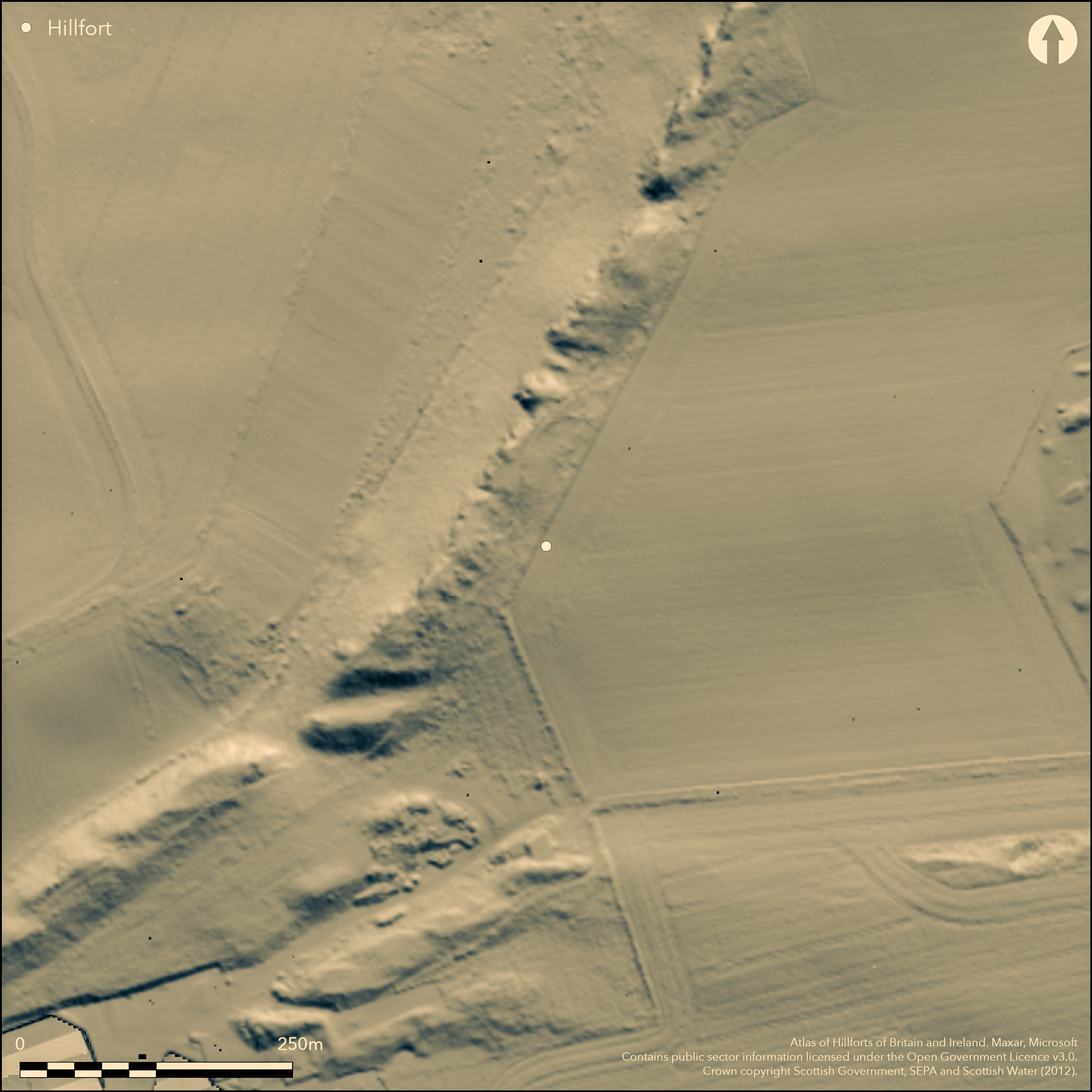
LiDAR 1m DTM Hillshade
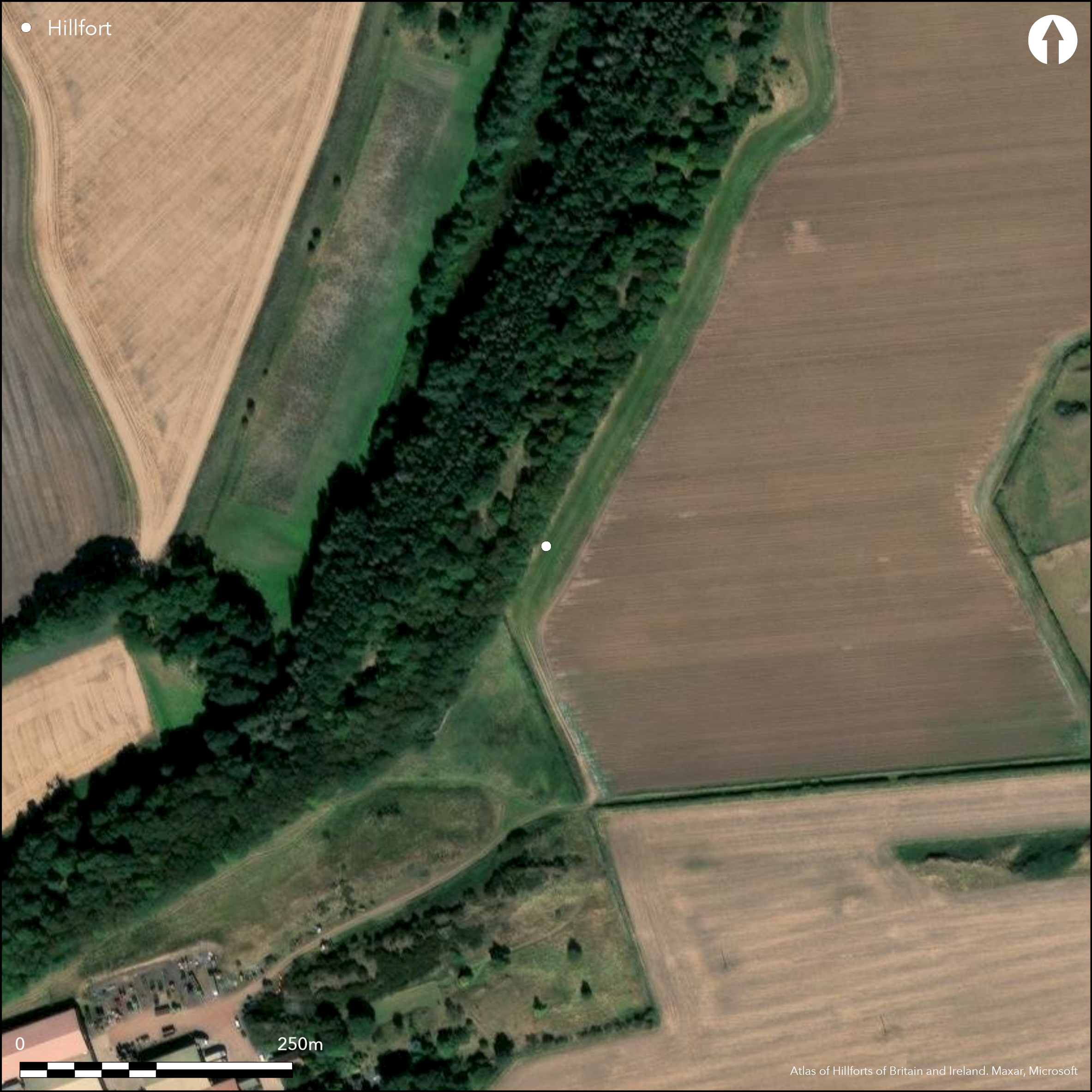
Satellite Imagery
LiDAR 1m DTM Hillshade
Satellite Imagery
Scroll left/right to view further images.
HER: East Lothian Council MEL1296 (None)
NMR: NT 58 SE 35 (56702)
SM: 4116
NGR: NT 5543 8102
X: 355434 Y: 681026 (OSGB36)
This fort, which is known only from cropmarks, occupies the tip of the SW spur of a low hill flanking the NW facing crags and escarpment known as Rockville Heughs. D-shaped on plan, backing onto the cliff-edge in the woodland on the NW, it probably measures about 110m from NE to SW along the chord formed by the cliff-edge on the NW by 50m transversely (0.49ha) within an arc of up to five ditches; making some allowance for the presence of an inner rampart, the interior extended to about 0.4ha. There is no evidence that the ditches are not all contemporary, but the innermost, second and third ditches, lie about 8m apart, whereas the third, fourth and fifth ditches are at half that interval. As such, these three outer ditches, the inner two 3m to 4m in breadth and the outermost no more than 2m, give the impression of a coherent defensive scheme, with elaborate entrances on the E and ESE respectively. It is thus possible that these outer defences are either an addition to the two inner ditches, or alternatively that the latter are an insertion. The sequence hinges on whether there is a corresponding gap in the inner ditches at the ESE entrance, an area obscured by a broad diffuse mark extending into the interior. The terminals of the outer ditches here are slightly staggered to either side of an oblique entrance-way exposing the visitor's left side, the middle terminal on the E turning out slightly to emphasise the effect. The E entrance is similarly configured around an oblique approach, though there are traces of a feature crossing the causeway to link the third and fourth ditches, possibly representing some attempt to block access. This entrance, however, also pierces the two ditches of the inner defences, the gap through the second ditch apparently with such a pronounced stagger in the positions of the terminals that they almost overlap; the arrangement of the innermost ditch terminals is less clear. No trace of any structures can be seen within the portion of the field under crop, while the rest is obscured by woodland. As yet this fort has not been visited in the field and it is unknown whether any trace of the defences survives beneath the woodland on the NW.
Citizen Science: ✗
Reliability of Data: Confirmed
Reliability of Interpretation: Confirmed
X: -302400 Y: 7562420 (EPSG: 3857)
Longitude: -2.7165081841918655 Latitude: 56.02011026100643 (EPSG:4326)
Country: Scotland
Current County or Unitary Authority: East Lothian
Historic County: East Lothian
Current Parish/Community/Council/Townland: Prestonkirk
No ground investigation has taken place to see whether the any of the defences survive upstanding in the woodland between the field and the cliff-edge
| Extant | ✗ |
| Cropmark | ✓ |
| Likely Destroyed | ✗ |
None
| Woodland | ✓ |
| Commercial Forestry Plantation | ✗ |
| Parkland | ✗ |
| Pasture (Grazing) | ✗ |
| Arable | ✓ |
| Scrub/Bracken | ✗ |
| Bare Outcrop | ✗ |
| Heather/Moorland | ✗ |
| Heath | ✗ |
| Built-up | ✗ |
| Coastal Grassland | ✗ |
| Other | ✗ |
None
| Contour Fort | ✓ |
| Partial Contour Fort | ✗ |
| Promontory Fort | ✗ |
| Hillslope Fort | ✗ |
| Level Terrain Fort | ✗ |
| Marsh Fort | ✗ |
| Multiple Enclosure Fort | ✗ |
| Hilltop | ✗ |
| Coastal Promontory | ✗ |
| Inland Promontory | ✗ |
| Valley Bottom | ✗ |
| Knoll/Hillock/Outcrop | ✗ |
| Ridge | ✗ |
| Cliff/Plateau-edge/Scarp | ✓ |
| Hillslope | ✗ |
| Lowland | ✗ |
| Spur | ✓ |
Dominant Topographic Feature: None
| North | ✗ |
| Northeast | ✗ |
| East | ✗ |
| Southeast | ✗ |
| South | ✗ |
| Southwest | ✗ |
| West | ✗ |
| Northwest | ✗ |
| Level | ✓ |
Altitude: 61.0m
N/A
In the absence of excavation, there are neither stratified artefacts nor radiocarbon dates to provide a chronology for the defences.
Reliability: D - None
| Pre 1200BC | ✗ |
| 1200BC - 800BC | ✗ |
| 800BC - 400BC | ✗ |
| 400BC - AD50 | ✗ |
| AD50 - AD400 | ✗ |
| AD400 - AD 800 | ✗ |
| Post AD800 | ✗ |
| Unknown | ✓ |
| Pre Hillfort: | None |
| Post Hillfort: | Ploughed flat and partly planted with trees |
Photographed by CUCAP in 1959, John Dewar in 1975 (held by RCAHMS), and by RCAHMS Aerial Survey Programme in 1976, 1988, 1995 and 1997
| 1st Identified Written Reference (1959): | First photographed by CUCAP |
| Other (1978): | Scheduled |
Featureless
None
| None | ✓ |
| Spring | ✗ |
| Stream | ✗ |
| Pool | ✗ |
| Flush | ✗ |
| Well | ✗ |
| Other | ✗ |
None
| No Known Features | ✓ |
| Round Stone Structures | ✗ |
| Rectangular Stone Structures | ✗ |
| Curvilinear Platforms | ✗ |
| Other Roundhouse Evidence | ✗ |
| Pits | ✗ |
| Quarry Hollows | ✗ |
| Other | ✗ |
None
| No Known Excavation | ✓ |
| Pits | ✗ |
| Postholes | ✗ |
| Roundhouses | ✗ |
| Rectangular Structures | ✗ |
| Roads/Tracks | ✗ |
| Quarry Hollows | ✗ |
| Other | ✗ |
| Nothing Found | ✗ |
None
| No Known Geophysics | ✓ |
| Pits | ✗ |
| Roundhouses | ✗ |
| Rectangular Structures | ✗ |
| Roads/Tracks | ✗ |
| Quarry Hollows | ✗ |
| Other | ✗ |
| Nothing Found | ✗ |
None
| No Known Finds | ✓ |
| Pottery | ✗ |
| Metal | ✗ |
| Metalworking | ✗ |
| Human Bones | ✗ |
| Animal Bones | ✗ |
| Lithics | ✗ |
| Environmental | ✗ |
| Other | ✗ |
NO APPARENT FEATURES and partly obscured by trees
| APs Not Checked | ✗ |
| None | ✓ |
| Roundhouses | ✗ |
| Rectangular Structures | ✗ |
| Pits | ✗ |
| Postholes | ✗ |
| Roads/Tracks | ✗ |
| Other | ✗ |
See main summary
| 2: | None |
| 2: | None |
Guard Chambers: ✗
Chevaux de Frise: ✗
| 1. Oblique (East): | Staggered ditch terminals to either side. Oblique approach exposing left side |
| 2. Oblique (South east): | Ditch terminals are staggered to either side. Oblique approach exposing left side |
An arc of five ditches, presumably with upcast ramparts, backing onto the edge of a crag above an escarpment
| Area 1: | 0.4ha. |
| Total: | 0.4ha. |
Total Footprint Area: 1.1ha.
None
| ✗ | Possibly represents at least two periods of fortification, but these cannot be untangled stratigraphically |
| ✗ | None |
| NE Quadrant: | 5 |
| SE Quadrant: | 5 |
| SW Quadrant: | 5 |
| NW Quadrant: | 0 |
| Total: | 5 |
| Partial Univallate | ✗ |
| Univallate | ✗ |
| Partial Bivallate | ✗ |
| Bivallate | ✗ |
| Partial Multivallate | ✓ |
| Multivallate | ✗ |
| Unknown | ✗ |
| Partial Univallate | ✗ |
| Univallate | ✗ |
| Partial Bivallate | ✗ |
| Bivallate | ✗ |
| Partial Multivallate | ✗ |
| Multivallate | ✗ |
No investigation has taken place to see whether traces of the ramparts cross the belt of trees between the edge of the field and the cliff-edge on the NE, or extend around the nose of the spur on the SW
| None | ✓ |
| Earthen Bank | ✗ |
| Stone Wall | ✗ |
| Rubble | ✗ |
| Wall-walk | ✗ |
| Evidence of Timber | ✗ |
| Vitrification | ✗ |
| Other Burning | ✗ |
| Palisade | ✗ |
| Counter Scarp Bank | ✗ |
| Berm | ✗ |
| Unfinished | ✗ |
| Other | ✗ |
None
| None | ✗ |
| Earthen Bank | ✗ |
| Stone Wall | ✗ |
| Murus Duplex | ✗ |
| Timber-framed | ✗ |
| Timber-laced | ✗ |
| Vitrification | ✗ |
| Other Burning | ✗ |
| Palisade | ✗ |
| Counter Scarp Bank | ✗ |
| Berm | ✗ |
| Unfinished | ✗ |
| No Known Excavation | ✓ |
| Other | ✗ |
| ✗ | None |
| ✓ | None |
Number of Ditches: 5
| ✗ | None |
No related records
Atlas of Hillforts:
Wikidata:
This work is licensed under CC BY-SA 4.0

 and should be cited as:
Lock, Gary and Ralston, Ian. 2024. Atlas of Hillforts of Britain and Ireland. Available at: https://hillforts.arch.ox.ac.uk
Document Version 1.1